July 20
Speaking for myself, the night was restful and quiet. The creek provided soothing background noise and I woke refreshed and ready to tackle the day! As some of you might remember, my regular “on trail” breakfast is a mix of Starbucks Via instant coffee and Carnation Breakfast Drink Vanilla. A yummy latte! I am still not tired of it!
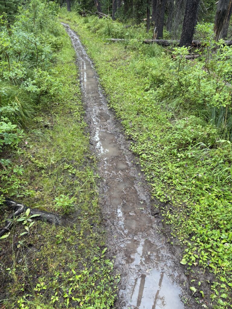
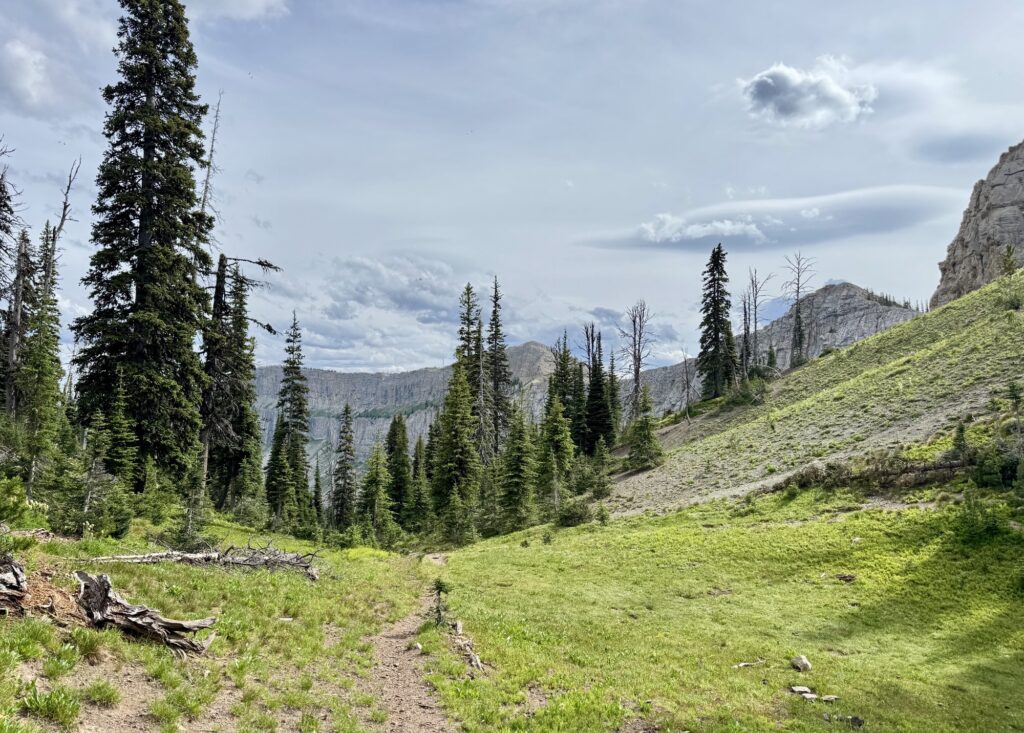
We left camp around 8:30am, and happily noticed that this section of trail had less horse traffic and therefore less mud and less manure. However, as we started to leave the river and climb towards Spotted Bear Pass, it got brushier and resembled a jungle more than a trail. Strange … I had imagined this wilderness in Montana to be on the dry side, but that area just like the Kootenays in BC has had unusually rainy days and low temperatures this summer. Great for reducing fire risk!
We ran into a CDT hiker from Basel, Switzerland, coming down the pass, and I enjoyed getting some thru-hiker intel from his hike so far. The CDT is definitely on my radar!
Since the Pentagon junction, the trail had been very quiet (only one horse and guide) so it was a welcome social encounter on Sunday morning.
Starting the climb to the pass, we encountered mad bees that stung 3 of us near a water source but otherwise it was uneventful.
The pass itself, as Swiss guy had told us, was really just a junction where the main CDT turns east and the alternate starts. It had no views and was still in the trees (less brush by then though!) but we had reached the Continental Divide!
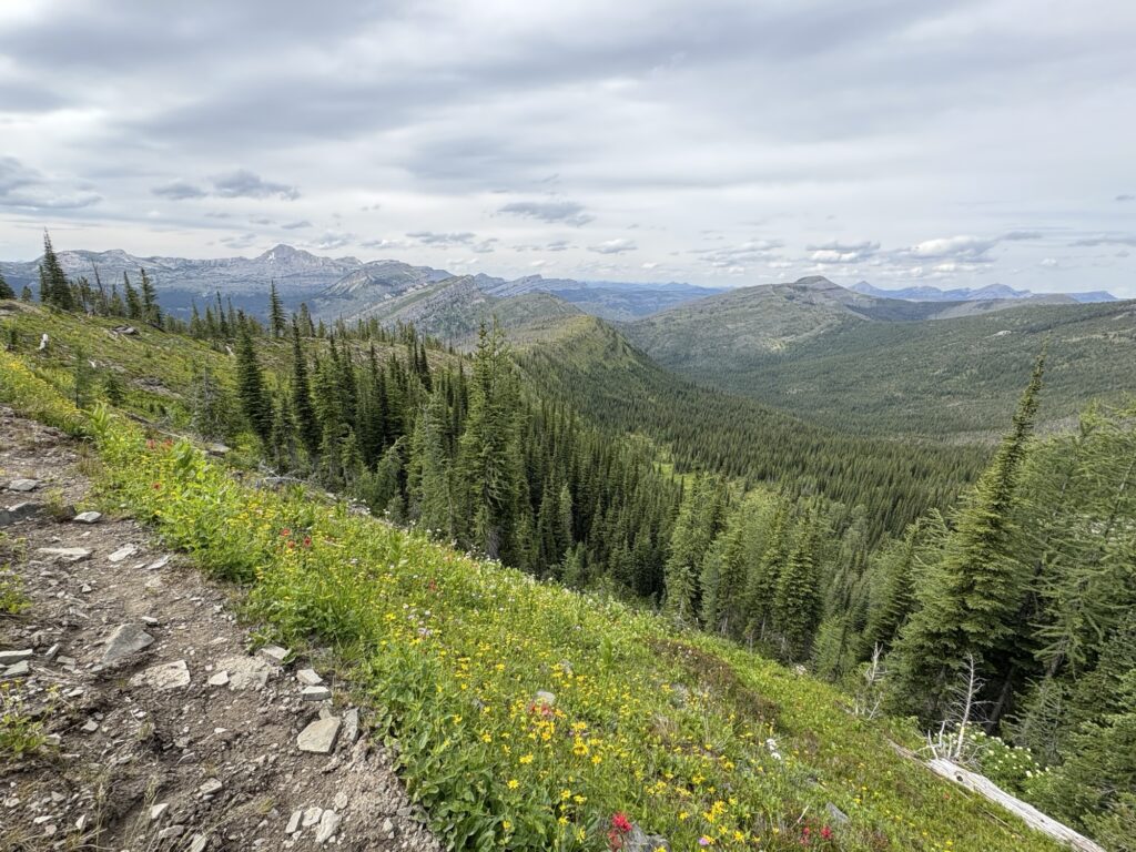
However, shortly after leaving the junction we finally reached alpine conditions and far-reaching views! At last! The area was burned and therefore open and sunny.
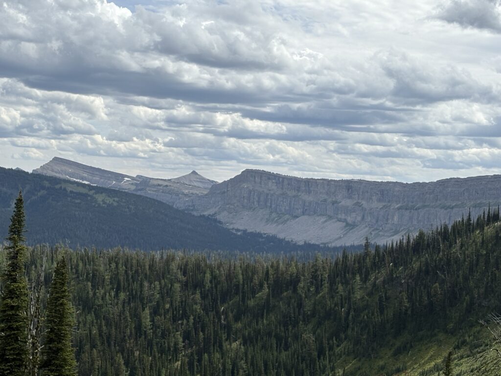
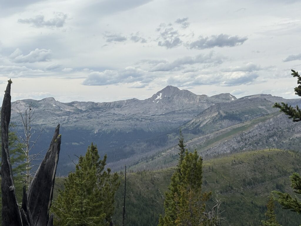
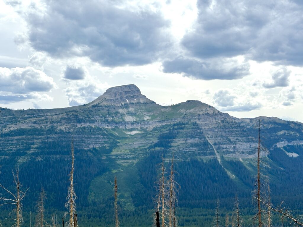
We saw the Chinese Wall in the distance (but would be going to a better viewpoint later), and the views to the northwest were spectacular as well.
For the geeks, from Wikipedia:
“The Chinese Wall is a large cuesta that lies along the crest of the Lewis and Clark Range in Bob Marshall Wilderness Area in northwest Montana. It stretches from Junction Mountain northward for 15 mi (24 km). It has an eastward-facing escarpment, 700 to 1,300 ft (210 to 400 m) high, carved by Pleistocene glaciers from westward tilted, sparsely fossiliferous, Middle Cambrian limestones. At the base of this shear wall, the limestones overlie Middle Cambrian shales and sandstones resting unconformably on late Precambrian sedimentary strata of the Belt Supergroup. The highest points on the wall are named separately as mountain peaks, including Junction, Haystack, Cliff, and Salt mountains.”
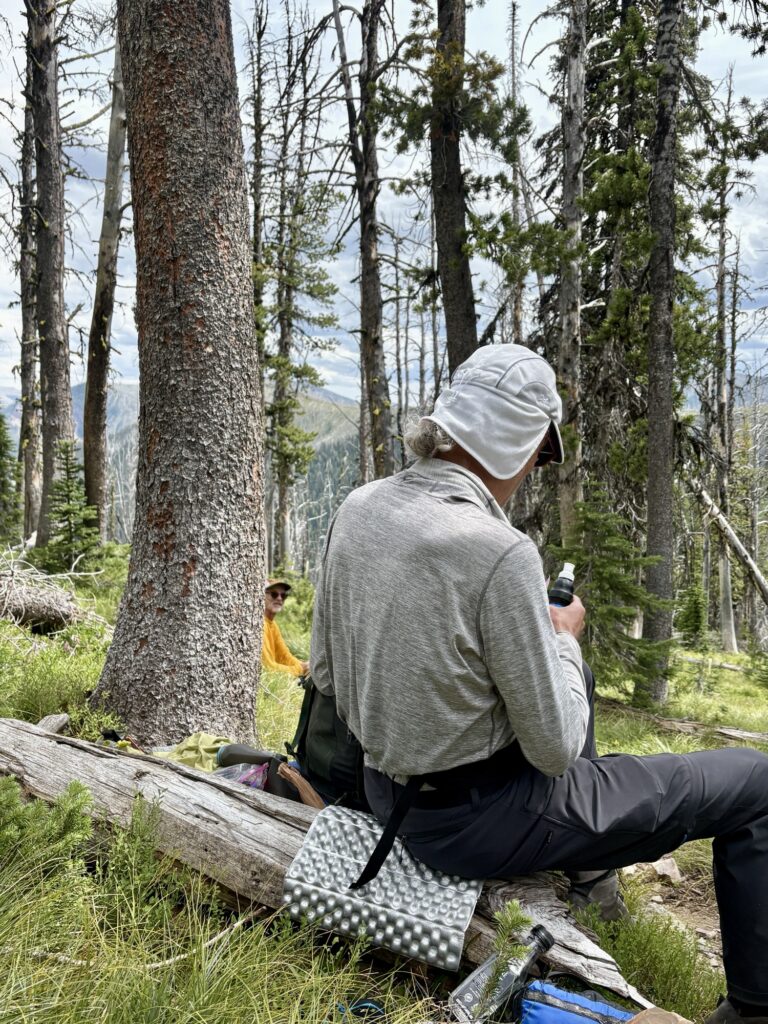
While taking a break, two local hikers joined us and coincidentally one even knew Ron!
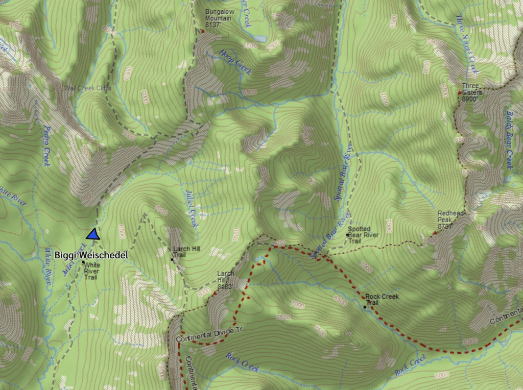
We left the CDT, looped around the back side of Larch Hill (2494m high) to the west side of the Continental Divide, and took a short (600m) out-and-back to get the best view of the Chinese Wall. It was spectacular. Larch Hill Pass (2348m) did not disappoint!
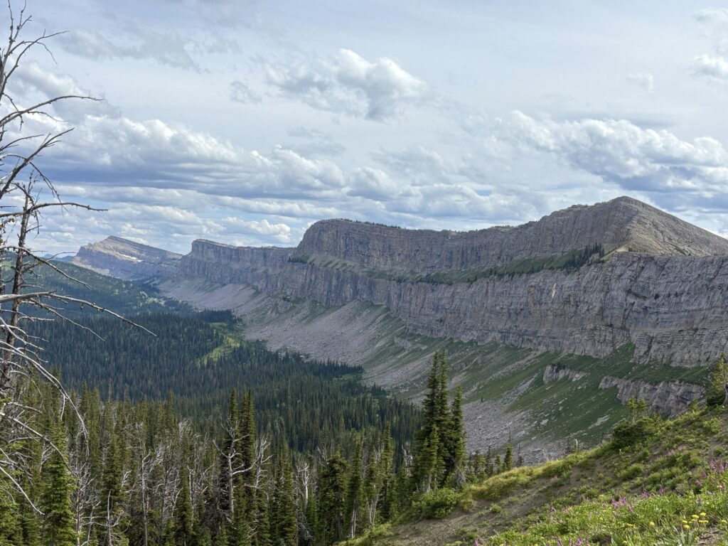
In the end we hiked for almost 100km to get this view! Our timing was good since that afternoon would be the last sunny and clear weather we had, and it would have been disappointing to not get these views. Lucky!
We started the long steep downhill to Juliet Creek, about 3 miles still in the open but rocky and relentless. But we were happy to have the views and being done with the climbing. It had been sunny all day with some minor clouds and mild temperatures. But the storm forecast was still looming and we were aiming to be back in the valley to avoid any exposure to lightning.
Shortly after reaching Juliet Creek we found a lovely campsite near the water (1880m elevation), and settled down for the night. We had hiked 30.4km. Camp was in an old burn but safe from falling trees. Dinner by the creek was wonderful, and despite that proximity to the water, the breeze coming through the camp kept the tents dry from condensation. It was my best sleep on trail that night!