Day 1
Background: Reserving camp spots and sharing the trail and the views with many people is not typically my style. But I did want to see the Rockwall, a famous hike in Kootenay National Park and not to far away, and finding some openings in the reservation system allowed me to plan this for a few days in August. I heard so many good things about this hike!
After getting the last few chores done at home, we were off on our drive to the Rockwall hike just after 8am.
The first stop was Radium Hot Springs after about 90min, for a second coffee and a treat. The drive was uneventful … except for the incredibly impatient and often unsafe drivers. While I’m going a few clicks above the speed limit, literally everybody needed to pass me, whether they could see oncoming traffic or not, even right past police cars and Park rangers. I do not understand why drivers around here are so impatient and disrespectful of the speed limit … I really do prefer the more relaxed driving in the US!
East of Radium we entered Kootenay National Park. The sign tells you that there is no cell reception for 105km! Great! Having cycled this road many times during the Golden Triangle events, I am very familiar with the big climb just outside of Radium. Obviously it is much easier in a car!
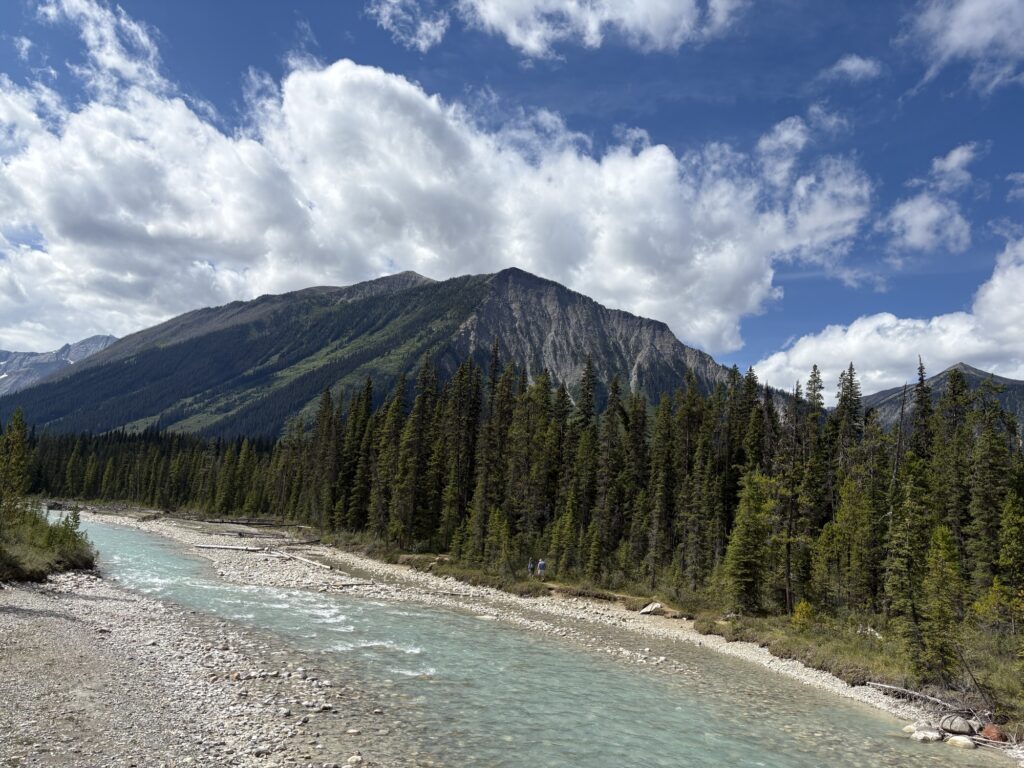
Soon I neared the turn off for Floe Lake trailhead. It wasn’t a good sign that cars were already parked along the highway near the trailhead turnoff, indicating that the actual parking lot was already full (I arrived around 11am). Sure enough, when I pulled in, every spot in the actual parking lot was occupied. Not even a squeeze was possible. However, it was early enough in the day, with plenty of time left for our hike to the first campsite, so I decided to wait (for a day hike I wouldn’t mind parking along the highway but not for multiple nights).
And after waiting for about half an hour, everything worked out perfectly! A couple from Vancouver Island vacated their perfect parking spot and also agreed to give us a ride to the trailhead up the highway … I’m doing a one-way hike and want to end at the car since the last day is a long one and I didn’t want to deal with hitchhiking when tired and late. After an enjoyable, short drive with them to the next trailhead (mostly talking about hiking on Haida Gwaii), I started hiking from Paint Pots Trailhead around 12:15 pm. Helmet Falls campsite was 15km away.
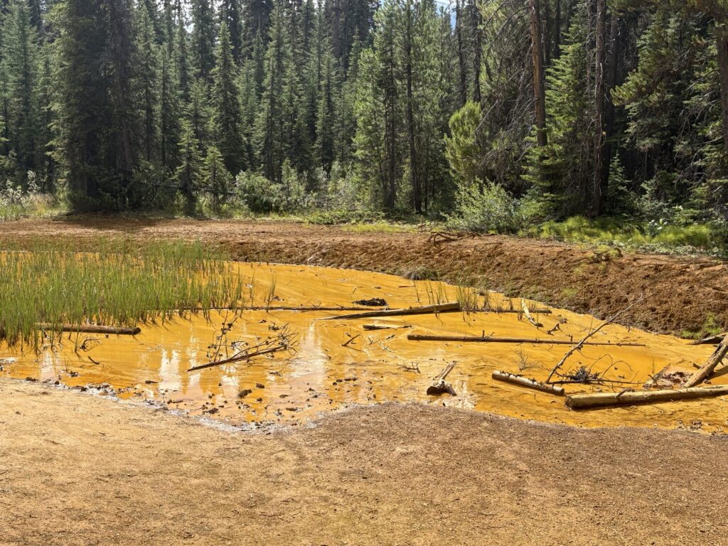
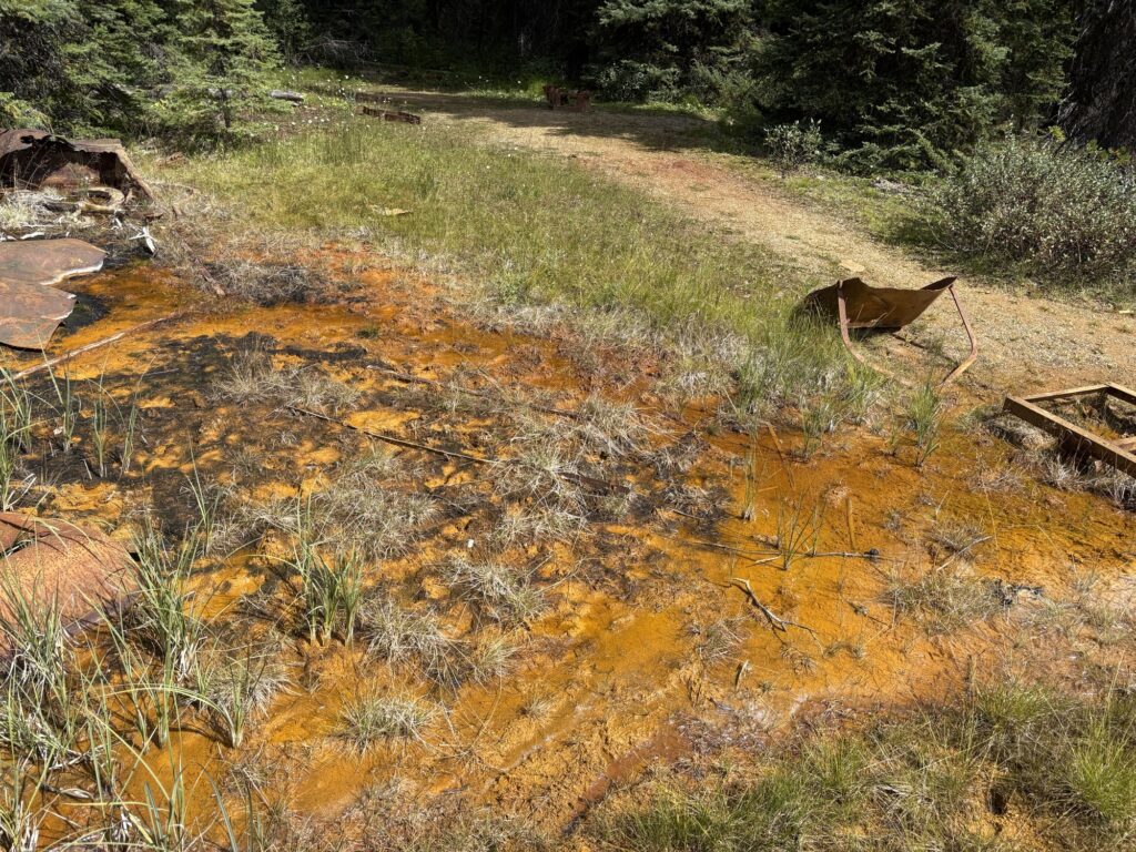
Not much to report from that stretch of trail … first there were a lot of people, most of them only going to Ochre Spring, and then returning to their cars. Then people sightings became sporadic … a trail runner, a group of 3 going the same direction, a mom with daughter who had escorted a friend hiking with his son and her son for a stretch of trail. Some friendly conversations, lots of attention for the dog.
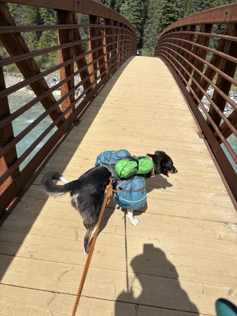
Since this is a National Park, the dog has to be on leash and that means, she is pulling steadily whether it’s up or down! Well, unless there are huckleberries which she finds and eats in split seconds without breaking stride!
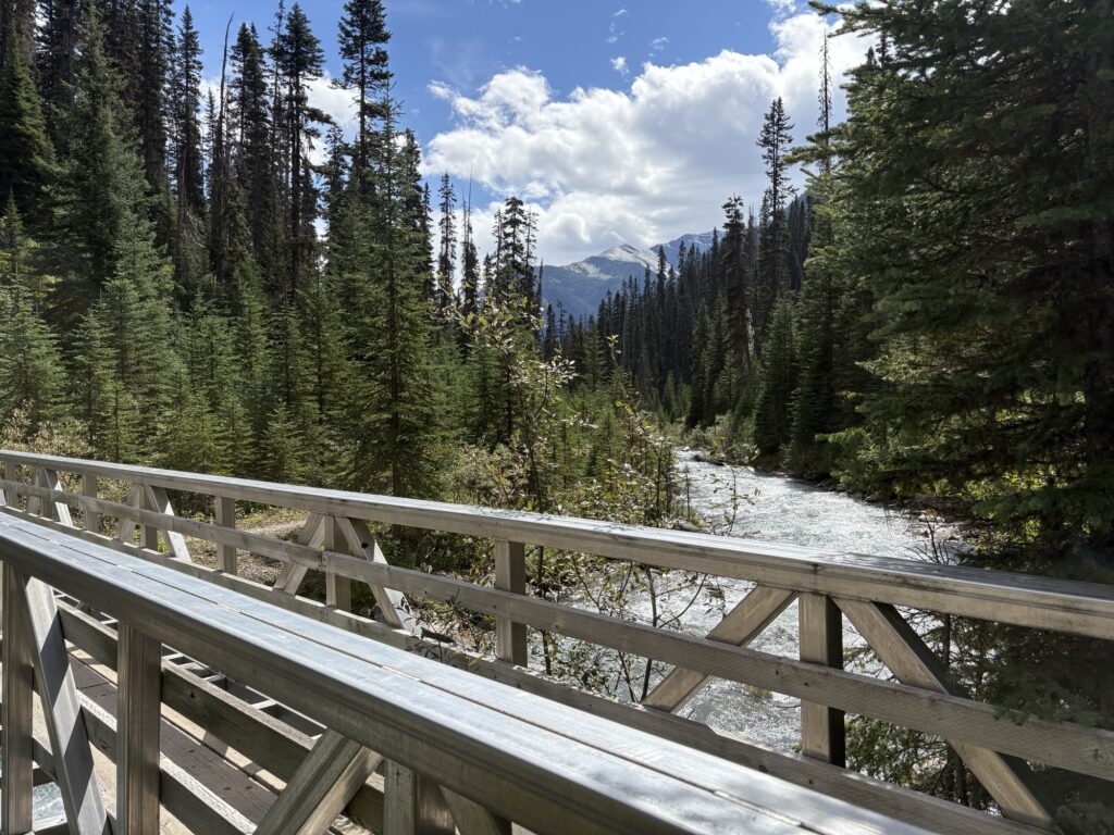
I had expected some views on this stretch of trail but we stayed pretty much in the forest and bush except for maybe 2 or 3 views at creek drainages and towards the end. One suspension bridge had pretty big gaps that I had to lift the dog over (and a big step for me). And it was definitely much muddier than expected! So not much to report there. The dog found lots of berries and my loud discouragement of her snacking kept the bears away.
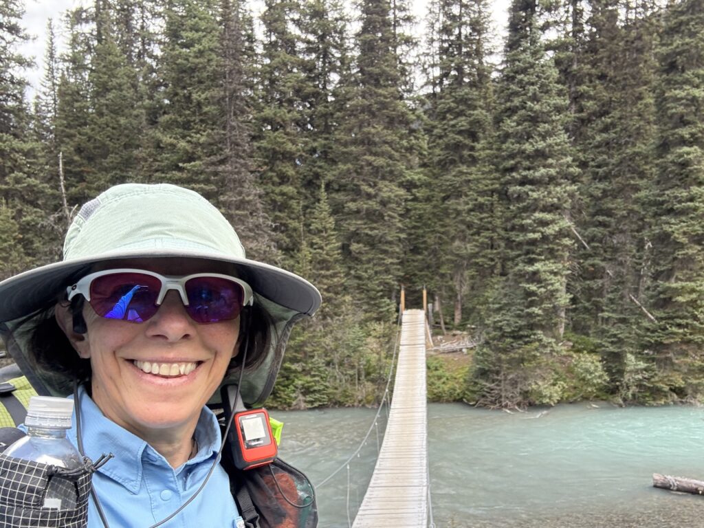
After 3:45hrs we arrived at Helmet Falls campground. It fits many tents, and it’s busy. Nice to have outhouses and gear boxes, and the tent sites are spacious. Access to water is easy.
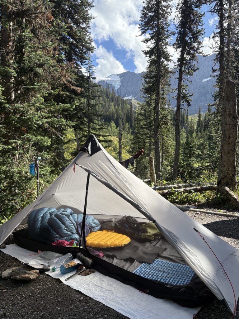
We ate and hydrated. Completed camp chores. I took the old tent this time so I didn’t have to worry as much about dog nails on expensive tent floors. It’s smaller and tends to have more condensation but I am not expecting any bad weather. Well – as I’m writing this a few rain drops are falling but generally speaking the forecast is good! Fingers crossed!
Another hiker in camp who came from the opposite direction said she saw a grizzly and two cubs today near Rockwall Pass! Let’s hope we get to see some wildlife too!
Day summary: 15.5km. 558m ascent. 3:45hrs.
Day 2
We didn’t get lucky with the weather! Last night it started raining around 6pm and did not stop until midnight. I thought we were done then since we also had thunderstorms with lightning. But at around 2am I woke to more rain on the tent. Bummer! For the regular morning chores, the rain held off a little bit, but just as I was starting to pack up it started pouring again. Not my favourite thing to do, packing up a soaking wet and muddy tent!
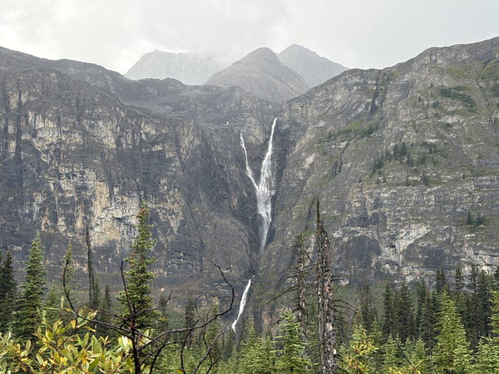
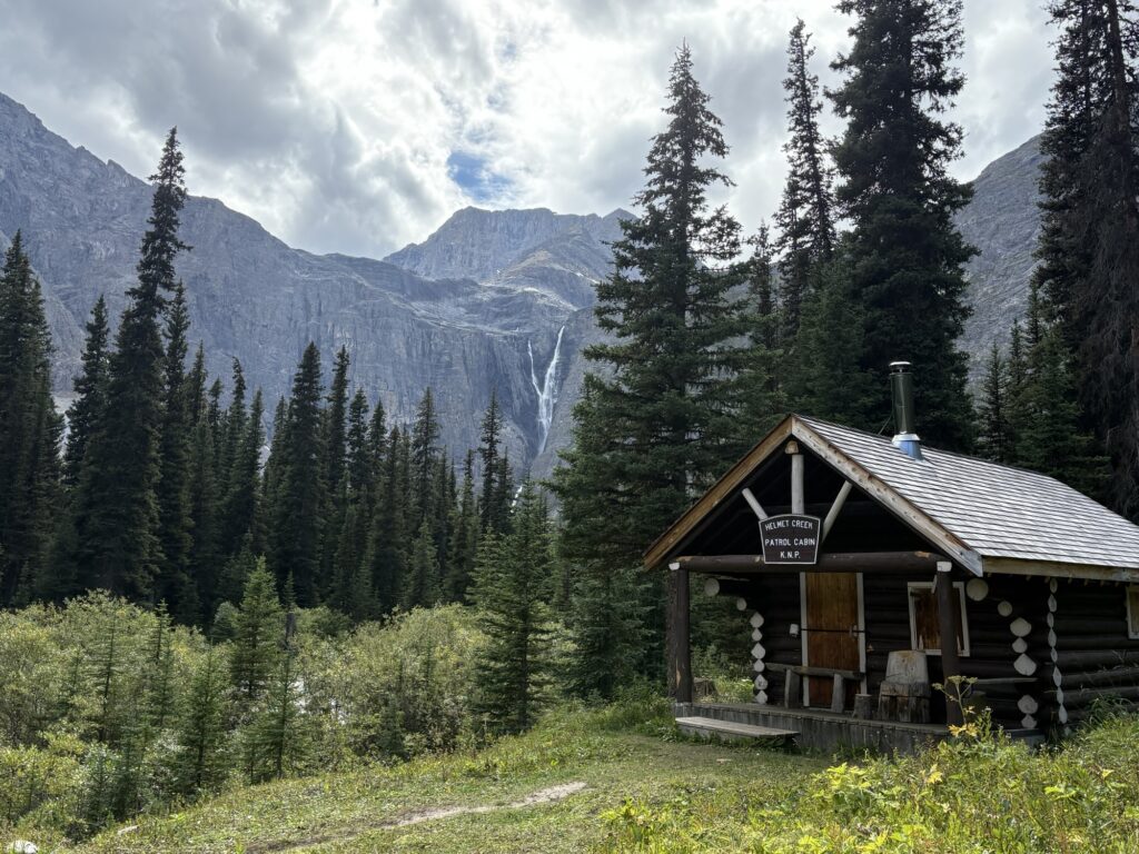
Once we were ready to roll and already wet, I had a hard time deciding whether I should continue on or just hike back to the highway (in rain, without views, the trail is pointless). I was actually standing at the junction when another big thunder cracked the silence. So I looked for some shelter at the patrol cabin and waited.
Then I talked to the same hiker again who came from the pass the day before and asked her what the terrain was like and how it would be in rain. She said it’s all about the views so it wouldn’t be much fun in the rain. But I decided to stay optimistic and started off towards Rockwall Pass anyway, defying the rain gods.
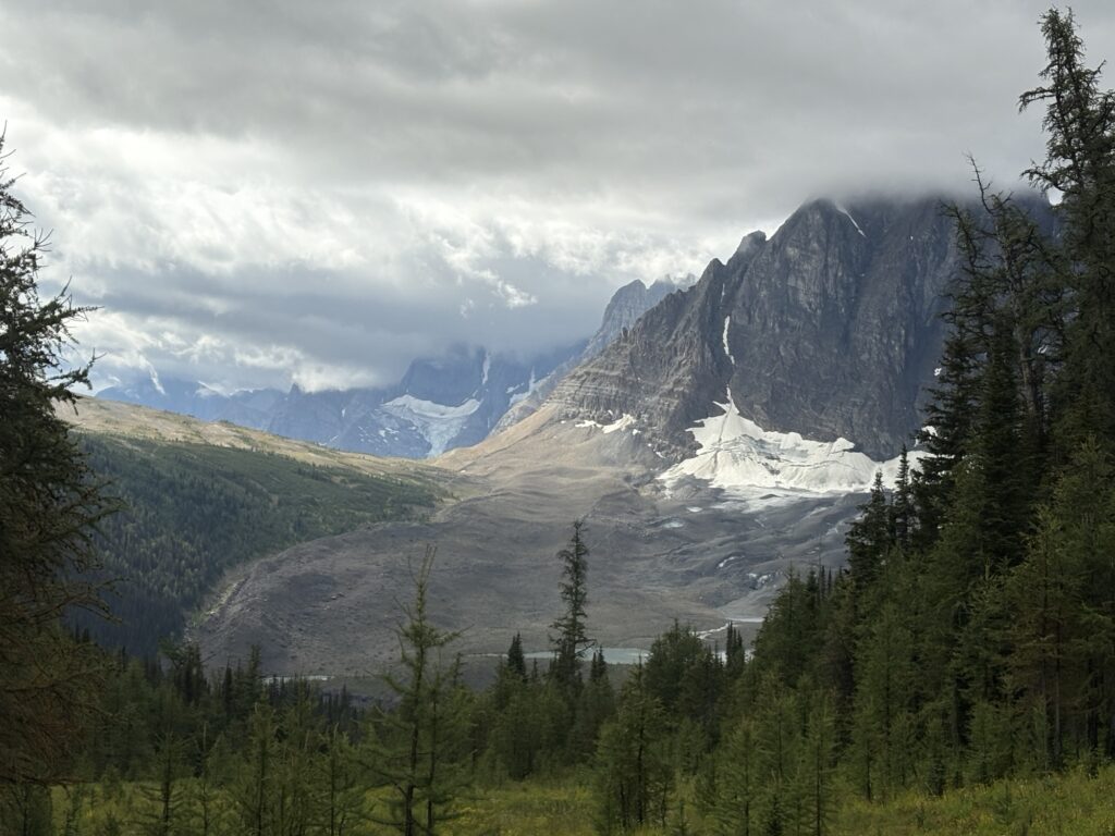
Overall, the distance was 12km to the next camp spot at Tumbling Creek. The trail started with a steep, often muddy climb up to the pass, then a downhill and more gentle terrain towards the next pass.
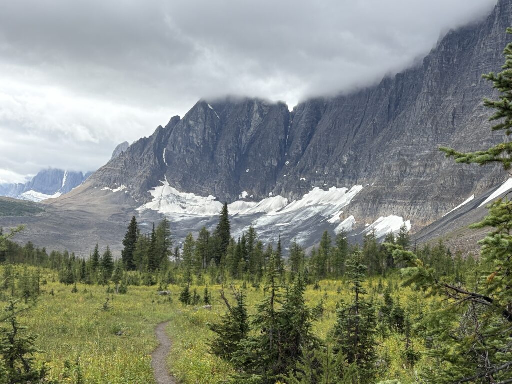
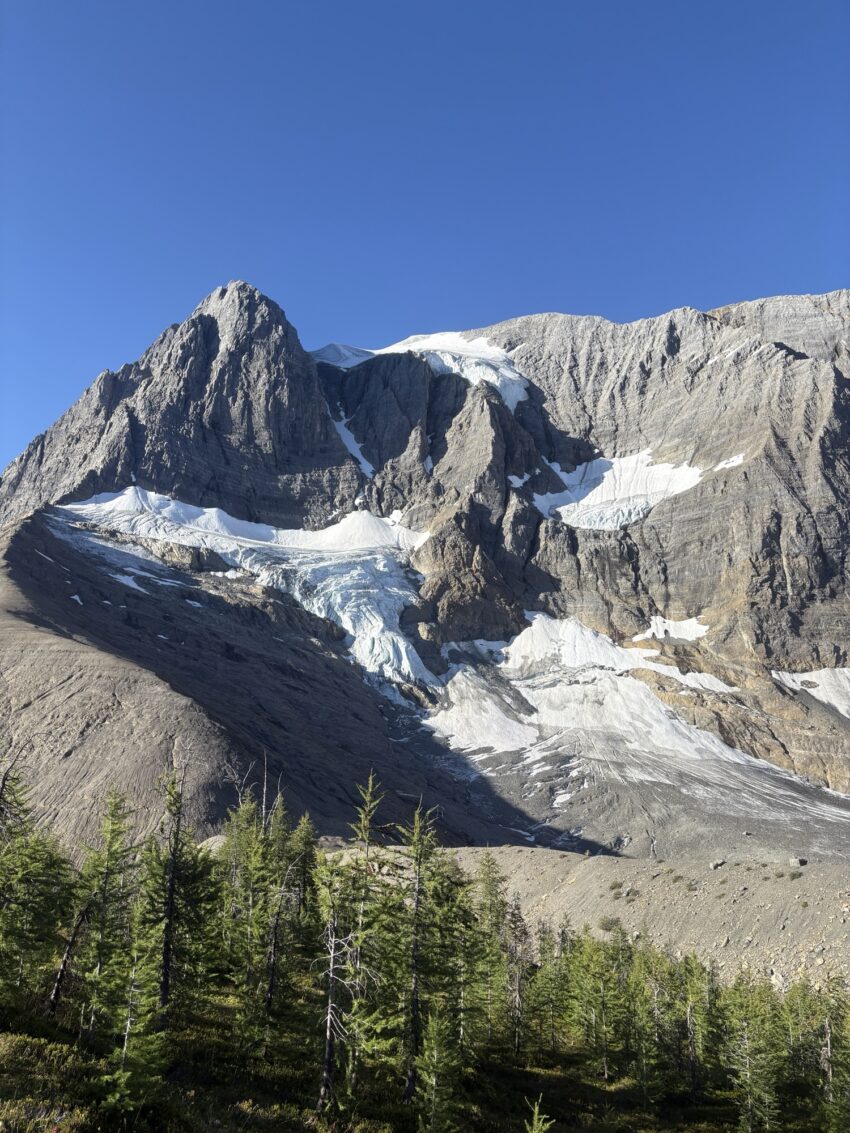
We were finally in a little bit more open section with views of the wall and glaciers. Another climb through a slide area and through the forest finally brought us into open country.
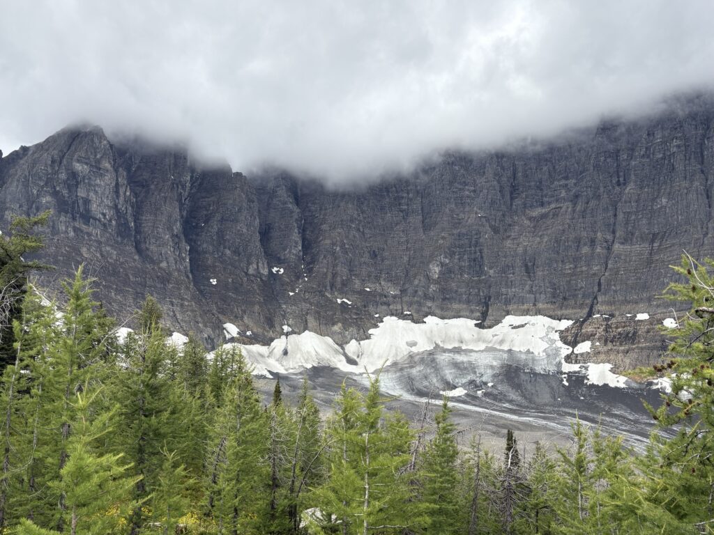
Quite a few hikers were coming from the other direction, either from Tumbling Creek Camp or even from Numa Creek. The trail has also shown to be very popular with trail runners, both yesterday and today. I chatted with some of them; what a scenic long run.
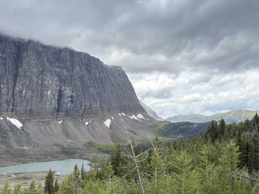
After the open rugged section along the glaciers and the wall, we then climbed up to Wolverine Pass and had some alpine meadow sections to enjoy. It was nice to finally get some views in all directions!
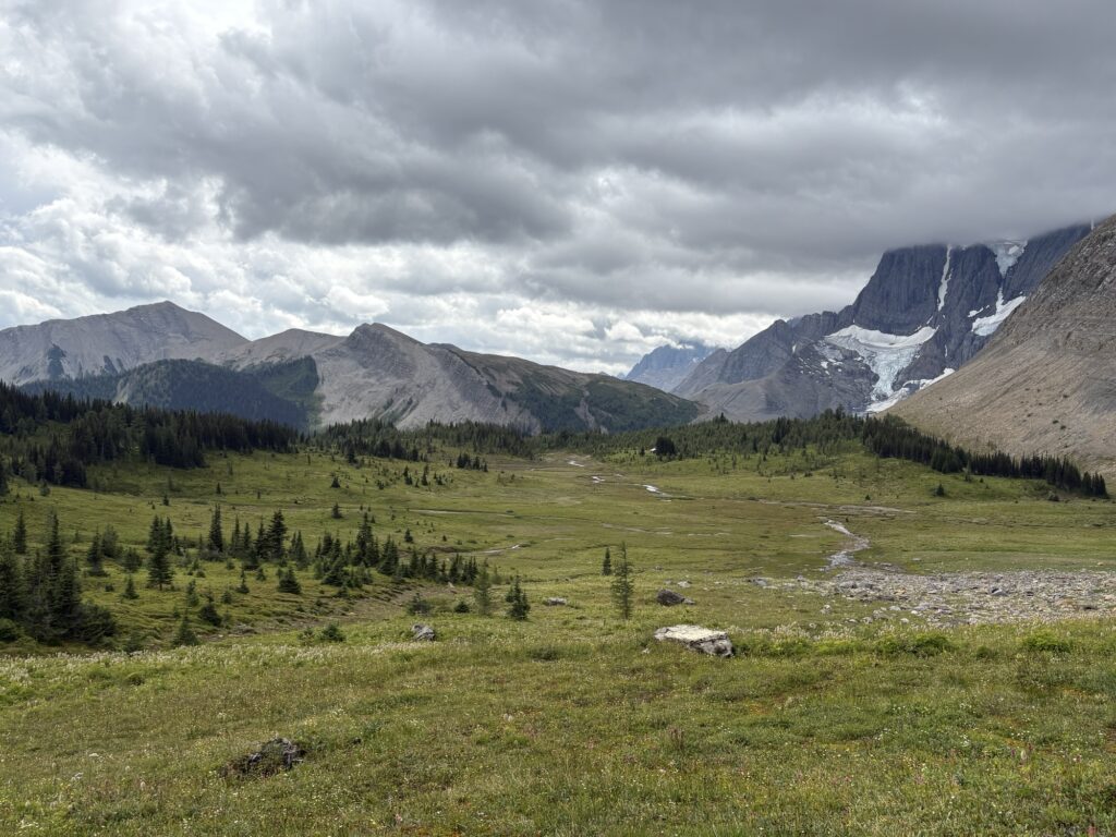
No rain and we only had a little bit of wind, but as long as I was moving quickly, I wasn’t getting too cold, even though my clothes were still wet.
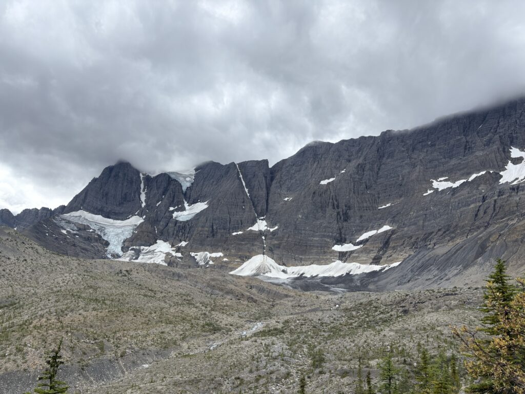
I didn’t stop until past Wolverine Pass, at another view point of the next glacier, and only for a few minutes.
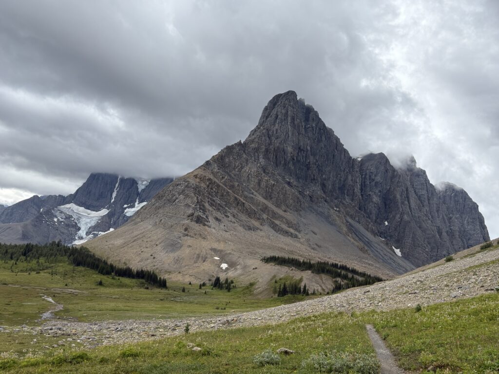
Then we started the steep descent into Tumbling Creek. A few more hikers were coming up the hill … not sure what was harder, steep up or down. With the dog pulling, it takes energy to hold her back and still maintain solid footing.
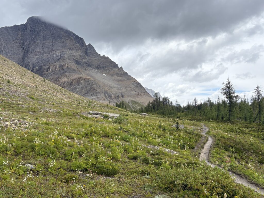
I was the first one in the campground with the sun peaking through the clouds. There was hope to dry all the wet stuff! I had my tent out and dried out in no time, and hung up other items (quilt, tyvek etc) as I went along (even washing the mud off the dog backpack). It was early afternoon so there was a lot of time for drying.
Once the other groups arrived from Helmet Falls camp, we traded clotheslines and the best drying locations so that everybody could get their gear dry. Worked fine and was very social.
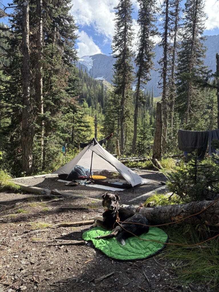
In the afternoon hours, the camp slowly filled up even though I realized that there are many more sites on the other end, past the bearbox/eating area. The sites are spread out enough to not feel crowded. My neighbour is the guy who is hiking with his son and his friend whose mom and sister I met hiking in. We had some good chats and the dog is loving the attention from the kids. Meeting kids is her greatest joy (on par with chasing sticks).
Again we have a cushy camp with bear boxes, an outhouse and a nice eating area in the open. The sun felt nice during dinner time!
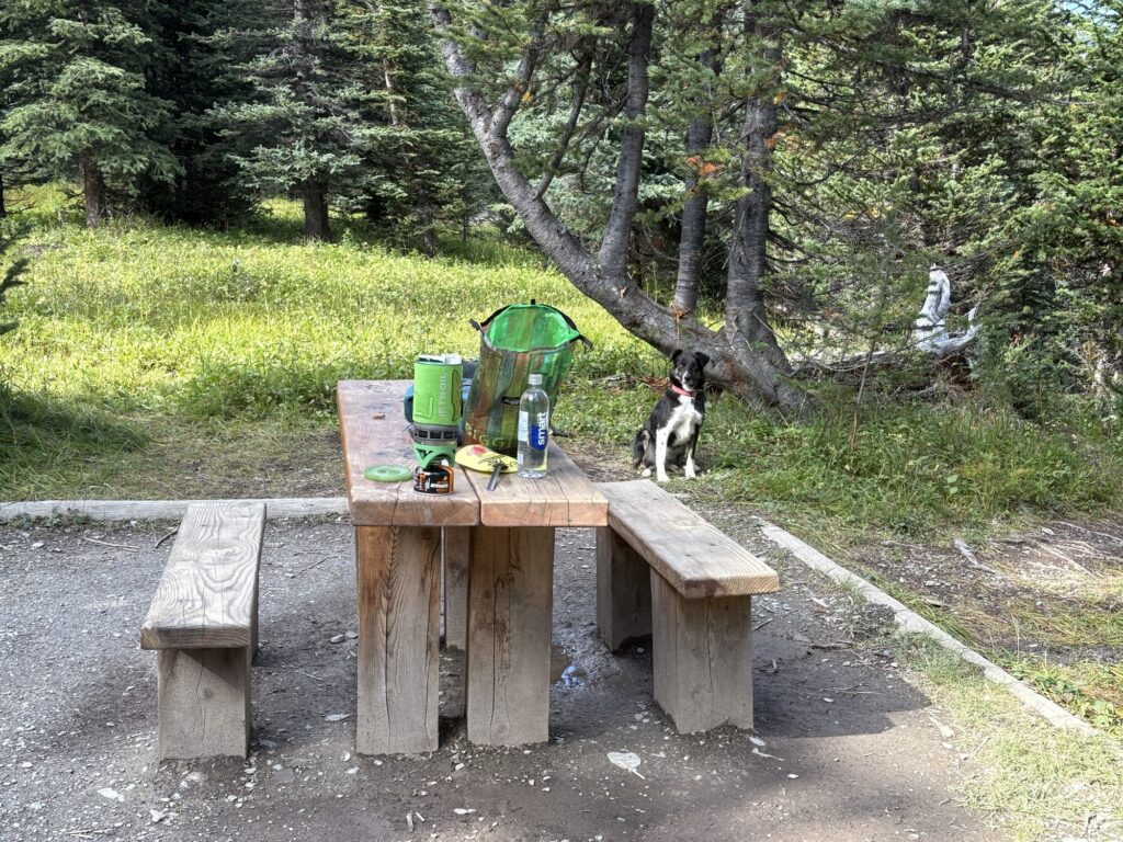
The afternoon was a mix of sun and clouds so most people were able to spread out their gear and dry it all off. Hopefully no rain overnight! If the weather holds, I will take the pass route to Numa Creek and then hike back to the highway from there. Since I don’t have a reservation for Floe Lake, I will get there sometime on a day hike.
Day summary: 13.5km. 725m ascent. 3:45hrs.
Day 3
Yes! We woke up to clear skies and didn’t even have condensation inside the tent (it’s normal with single wall tents when camped near water). So everything was dry. That meant leisurely getting ready and spending time chatting with the other campers.
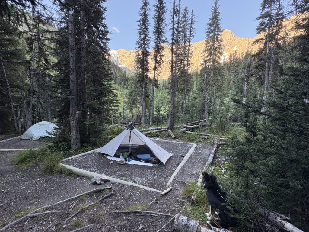
Finally we were heading out, first down the creek a bit to the bridge over Tumbling Creek and then starting the steep ascent to the pass.
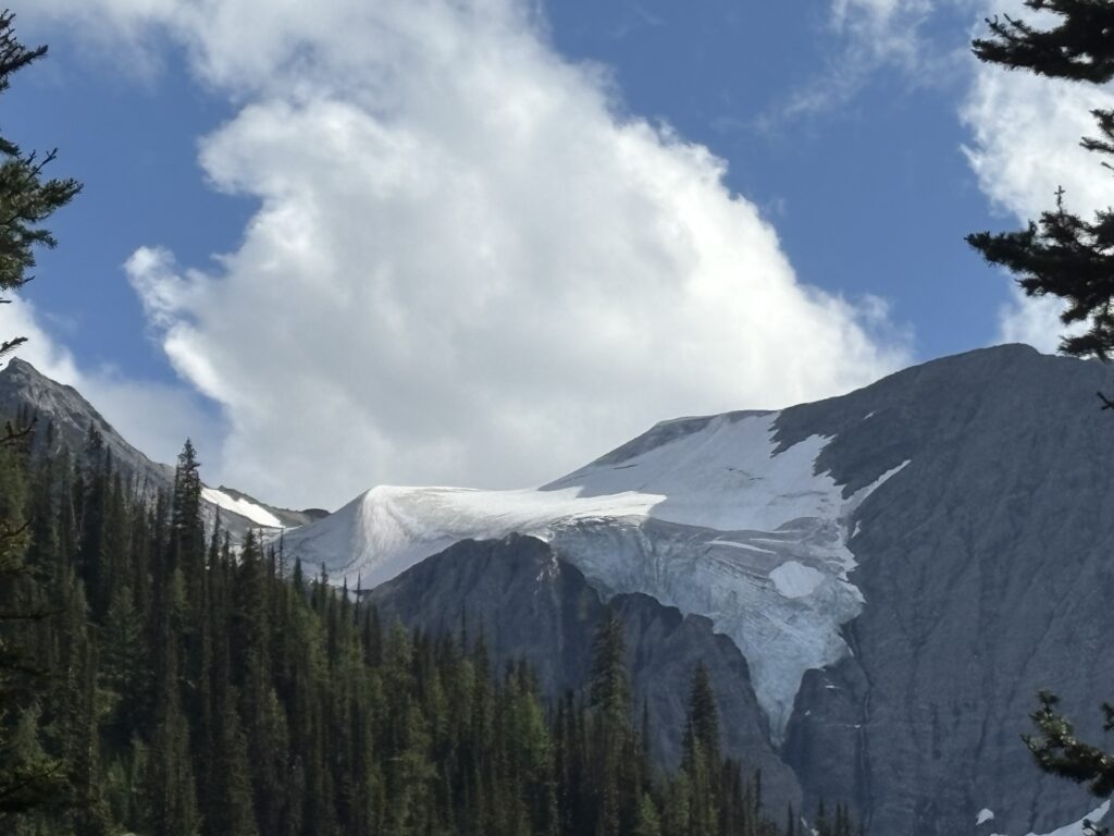
It’s only about 3 km but climbs quite a bit. Here is a quote from somebody’s trip report:
“The next mile was a hard uphill both from the consistent steepness with a 19.3% grade average, the wear on legs, and the drop in our energy from waiting to eat at the pass. The initial portion was through the woods and slightly steeper with a maximum grade of 28%.”
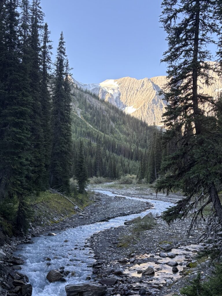
The trail stayed in the bushes and forest before entering a short section in a rock slide with some creek crossings. After another forest section, it started thinning out and once we were in the open and near Tumbling Pass, it was spectacular!
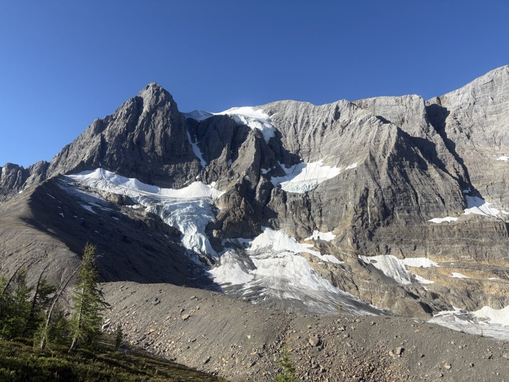
You see glaciers and rock formations, with sweeping views along the wall and to the other passes. The trail descends from the pass into a flat barren area before another bump and then into a wide green meadow (you can also make out a small cabin in the distance, not sure what the purpose is, maybe a shelter).
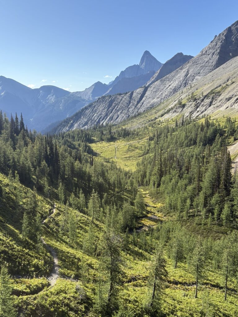
There was infrequent “traffic” coming from the other direction, maybe three parties with multiple people and two single hikers. After meeting the GDT thru hiker I chatted with in the Floe Lake parking lot on the first day, I encountered more and really enjoyed the “thru hike chats”. The talk inevitably ends in gear topics! Thru hiker 1 wasn’t happy with his backpack ripping so he was trying to get to Dan Durston’s shop in Golden to figure out gear (a popular UL gear brand, based in the Kootenays).
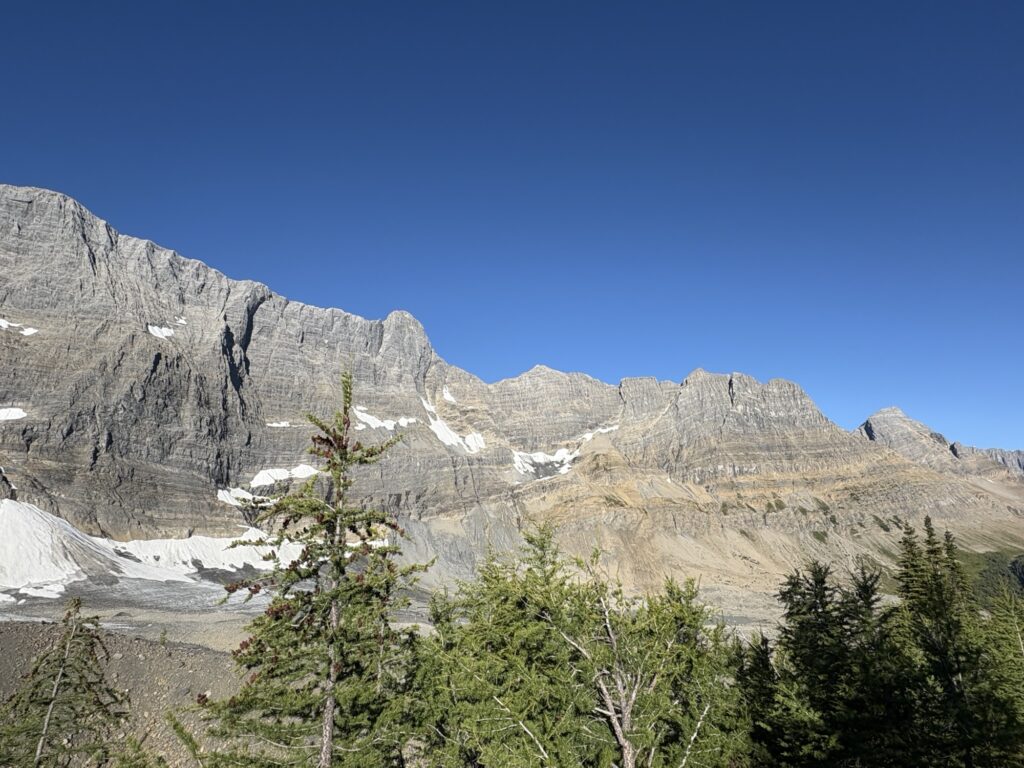
Generally speaking, I don’t take a lot of breaks besides stopping for photos, and am usually focused on getting to my destination. But I do enjoy some photo ops and looking around when above treelike, taking in the beauty of the high alpine environment.
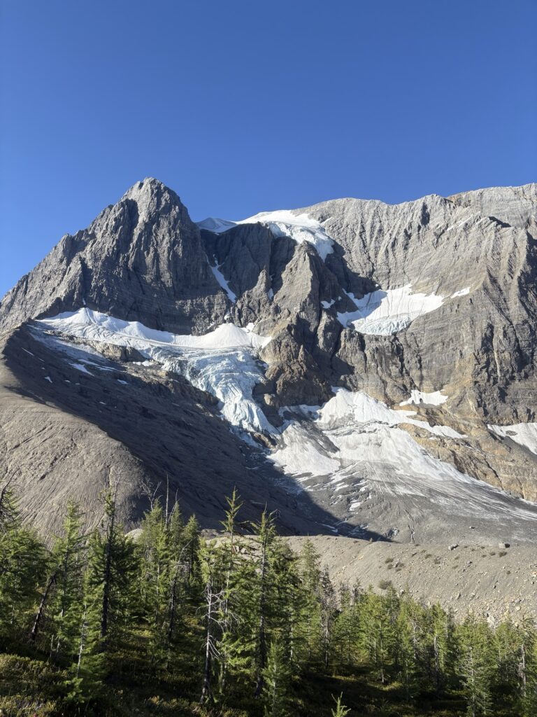
After the pass, there’s a steep downhill to Numa Creek. It was actually more difficult than I had anticipated, with scree and creek crossings, some mud and wet spots, as well as tight trail sections in thick bushes. And with the dog pulling hard it wasn’t always easy.
But eventually we made it down to the creek and back into the forest, where the sign at the junction points right to the Numa Creek campsite. However, it was only 10:30am in the morning, and not being one to sit around for long, I didn’t wanna be in camp that early. Instead I decided to take Numa Creek trail out to the highway.
That section was uneventful. The map shows it as going right along the Creek, but it turned out to have some steep climbs up the banks from the creek and then back down quite a few times. There was also a burn section that was quite exposed. So overall even the downhill was a bit harder than expected, but it was only about 7km to the highway and we made it in good time.
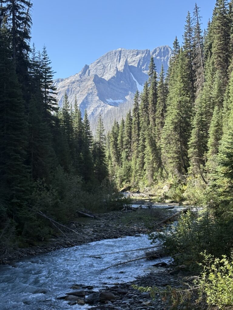
I did not see anybody on that trail section except about 200 m from the end when we ran into the first family. As soon as Ksanka sees kids, her whole body wiggles and shakes so we had to say hi to everyone. They were all very friendly, and a few minutes later we walked into the parking lot.
The first family that started talking to us and asked about our hike had a full car and couldn’t take us but literally the first couple that walked up the parking lot and that I directly asked for a ride, said yes. So we had a lovely time with Candace and her husband from Creston, who actually went the opposite direction of their route to take us back to Floe Lake parking and my car. It only took about 6-7 min on the highway.
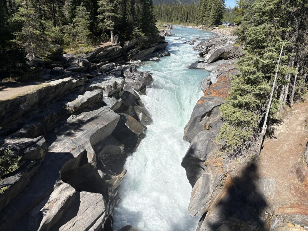
It’s always so wonderful to meet random strangers when hitchhiking, and we had a great chat in the car. In the end we were at the car around 1pm and everything was as we had left it. I think the dog was happy to jump into the car and rest for a bit since she had been pulling hard all day, first uphill and then downhill.
The driving experience, especially in the park, was the same again, with cars tailgating as I was going 95km/h in a 90km/h zone. This time I paid attention and I can confirm that 100% of the people that sat right on my tail and then passed me sometimes in unsafe situations were all from Alberta. Just saying.
We fuelled up in Radium, had some snacks and made it back home safe and sound. My muscles were definitely talking to me, tired especially from the steep uphills and downhills and the dog-on-leash management. Mostly that affected the back and the glutes which I’m feeling today! Overall, we enjoyed the fantastic scenery and the very cushy campgrounds with plenty of amenities. It is definitely a very popular trail but everybody we met was so friendly and chatty, and so we enjoyed that experience “camping next to other people” as well. The dog did very well; she never slows down and had many admirers on trail and in the campgrounds.
Day summary: 15km. 500m climb. 4hrs.
Beautiful photos Biggi. Kasanka is so lucky to have found you.
Thanks Daryl! Yes, I hope she knows she won the jackpot 🙂
What an amazing hike!
Thanks Peter!