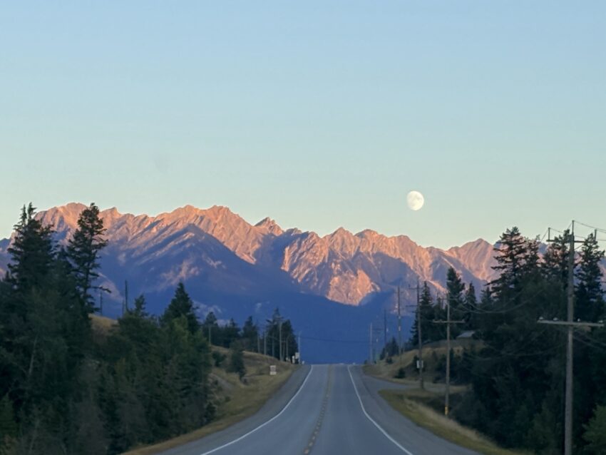
Out with a bang!
I hope this post doesn’t turn into a novel but a lot happened today!
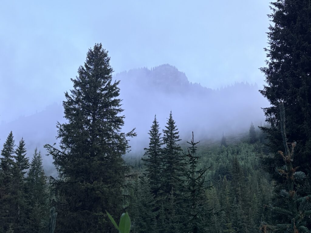
We got up at our regular time, only Big Springs guy was up. Getting the food, packing up, all happened on our streamlined schedule. Everything was still soaking wet (socks, shoes, pants) but there was no point leaving on dry clothing and enjoying it for maybe 5 minutes!
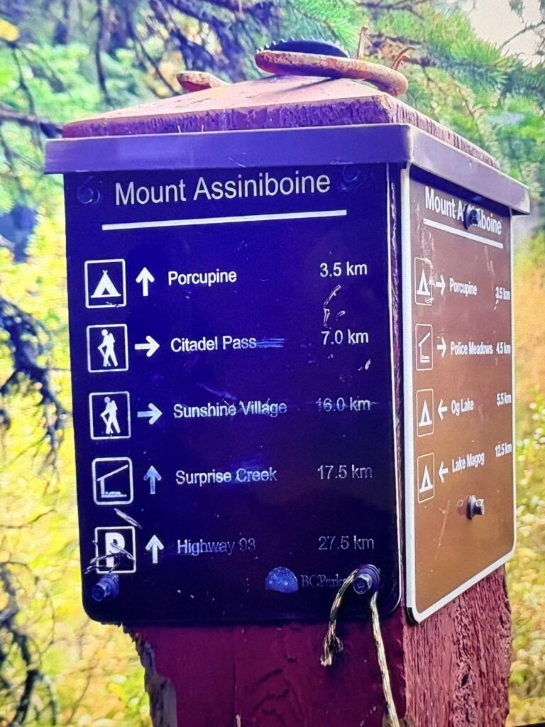
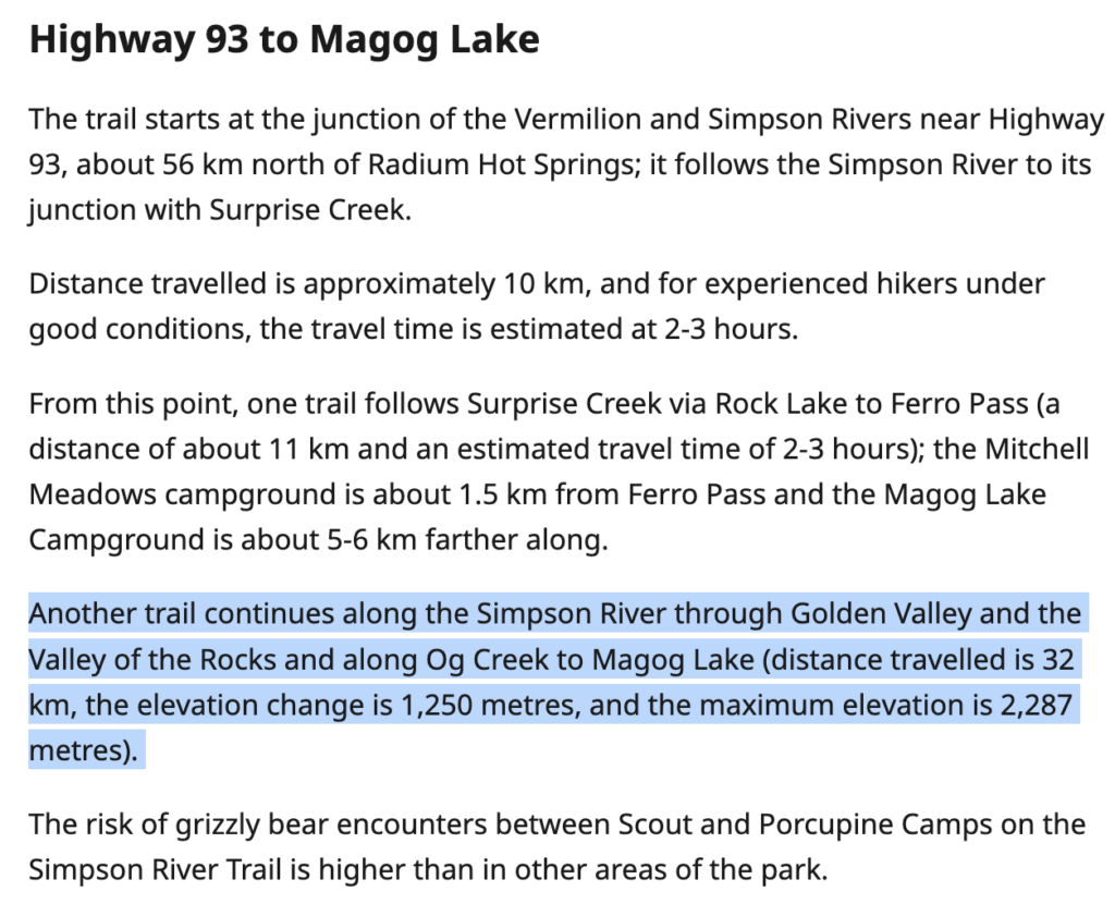
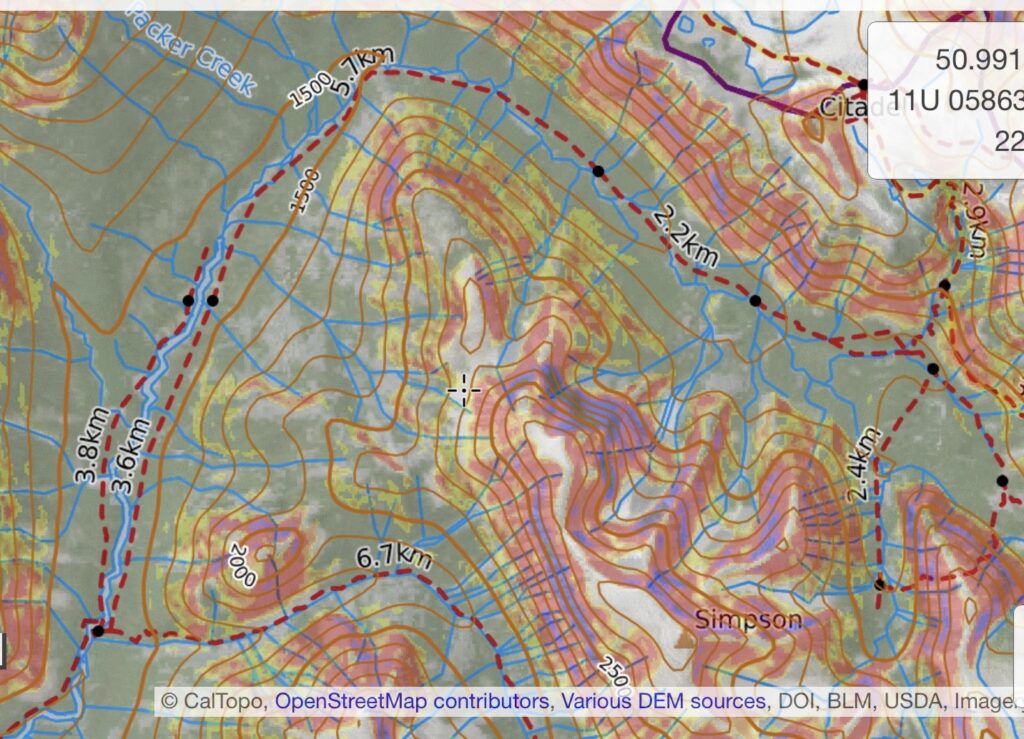
So everything got packed up and we walked down to the signpost. It pointed to Citadel Pass (a very steep climb), to Og Lake and also to Surprise Creek (14km) which is where we wanted to go, along the Simpson River, and from there to the trailhead on Highway 93 (the signpost 3.5km before Porcupine camp last night said 27.5km to the highway, which tracked). Here is a screenshot from Damian’s GDT video showing the mile marker:
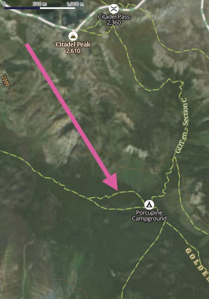
It started out with a climb up and over a rise in dense, dark bushes and trees, showing two ways on the map but I never saw the other start.
It was a full-on car wash; I had my rain skirt on but little did it matter with all the stuff wet already (only my hiking shirt had dried inside my quilt over night). We climbed steep up and down, eventually seeing muddy trail. About 1km from camp, the trail met the river (small at this point) and there was no sign of it continuing on the other side. We backtracked, checked up and down the shore but nothing was visible. Consulting the map, it confirmed the trail was on the far side.
So we kept walking, or better at this point, bushwhacking. We climbed up and over logs, around bigger logs over smaller logs, stepped into swamp and onto brittle burned logs. It was very slow going.
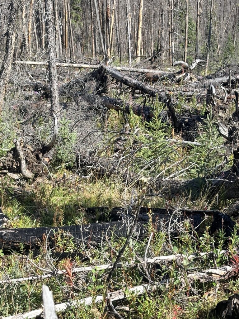
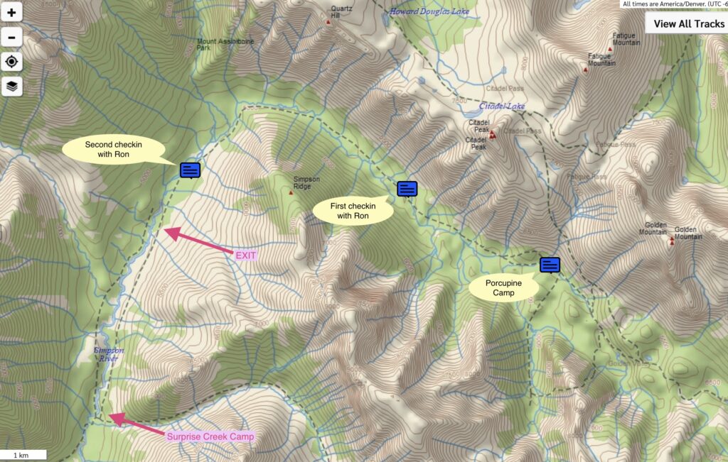
After about 1.5 hours of this, we used the satellite texting function of the iPhone to ask Ron for advice (10:16am). Sending him my location with the inReach, I was curious what his various maps said. He confirmed seeing the same I saw: A trail all the way down to Surprise Creek on my (left, looking downstream) side of the river, plus another parallel trail on the other side starting much further down.
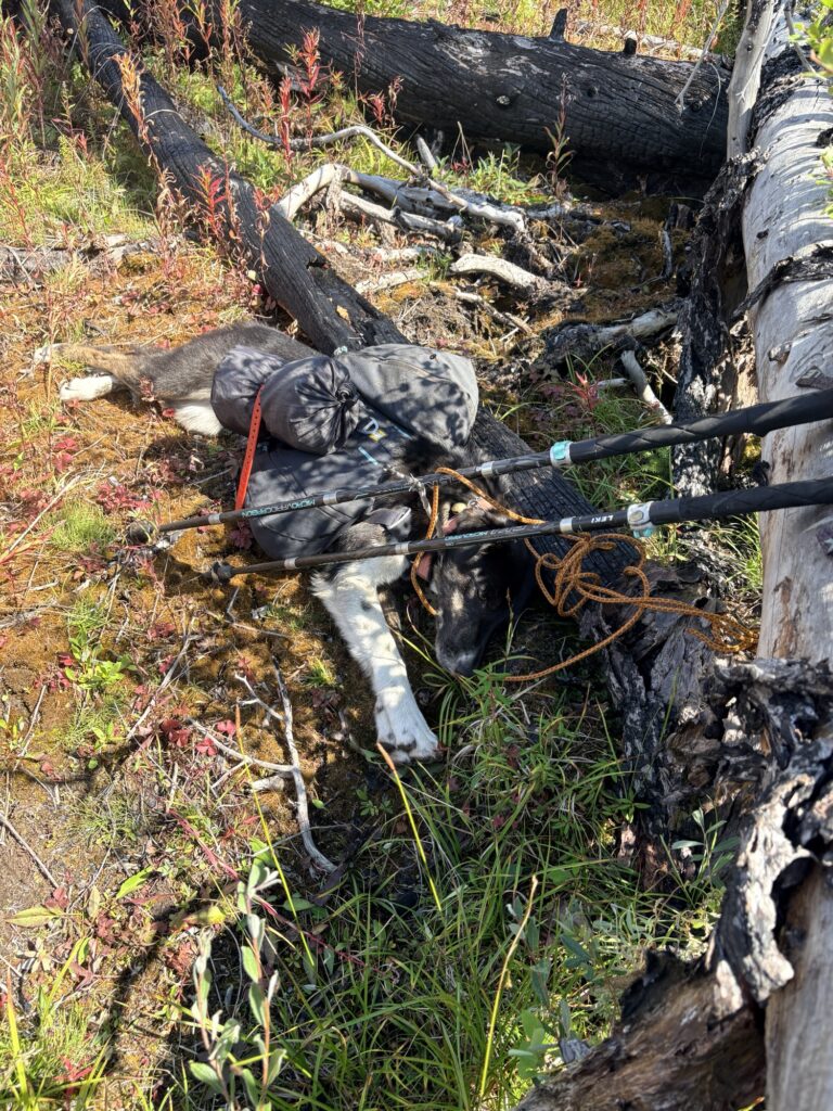
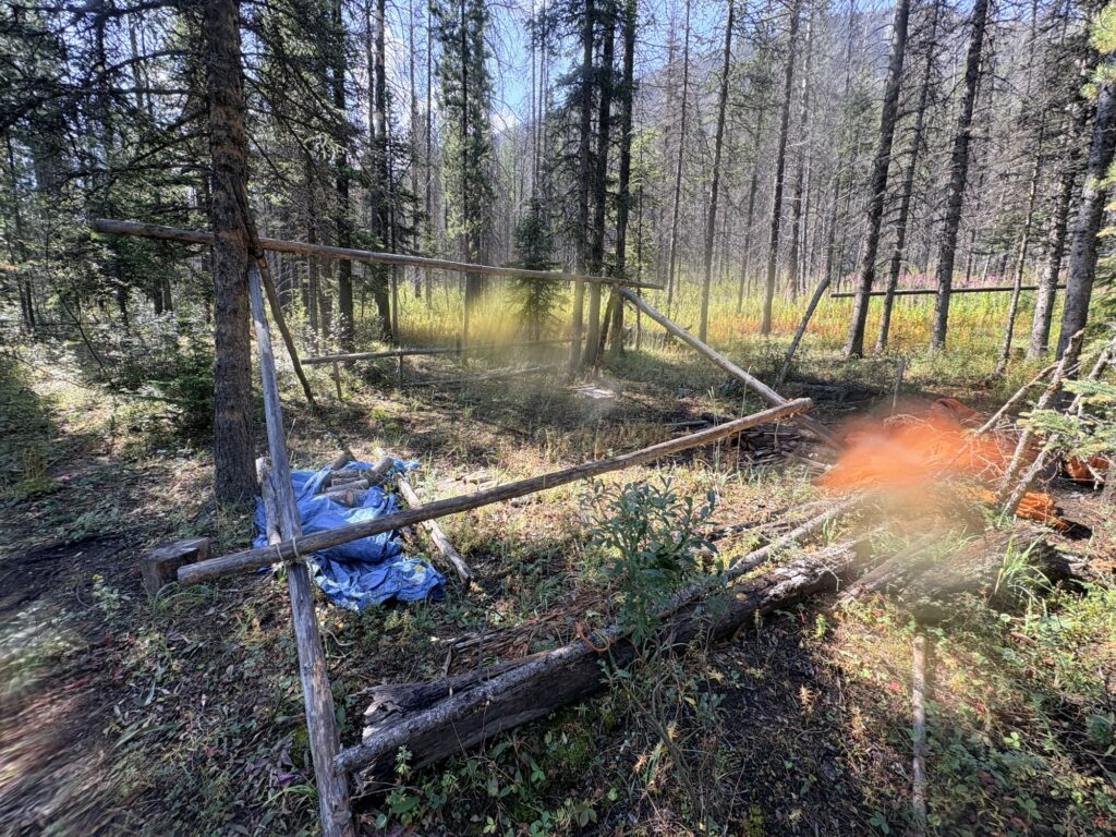
I decided to keep trying and promised to check in again. About 20min later, I suddenly had a TRAIL, and then passed an abandoned camp with tarps etc. (to be known as “Scout camp” as per the park info below).
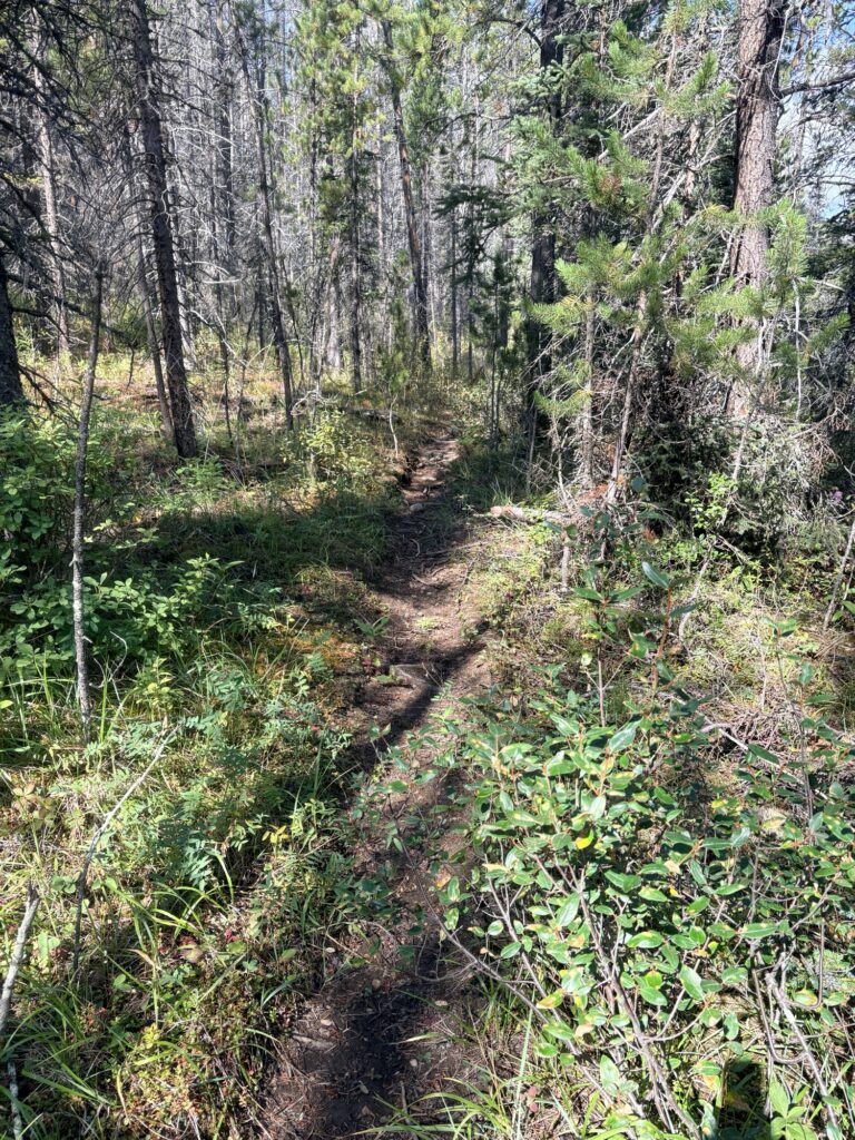
Sadly, the trail disappeared after about 300m, suddenly, and we were back to bushwhacking. I did check both sides of the river again, which was getting deeper now (for me above knee deep and with strong current; for Ksanka one huge leap from the bank and then swimming). The dog did amazing and never hesitated! Once her backpack was off (for the crossings) she actually thought it was a fun game!
Downstream the river actually went through a narrow canyon and crossing would have been impossible. But, we continued on the same side where the map showed the trail. The last thing I wanted was an injury, in the middle of the burned woods. So I was very careful with my footing, testing surfaces, going slow. There were big spongy hummocks with super soft tops, making me sink shin-deep into them. Next to them were big hollows that were deep and swampy and otherwise would have eaten up my shoes 🙂 So … the going was tough. I kept an eye on my app to see where the line was and must have crossed it many dozens of times with absolutely no evidence of a trail.
At 1:30pm after a lot more bushwhacking that was painfully slow (and painful) I texted Ron again with our location. His maps still showed the same but I was close to where a parallel trail was showing on the other side. So I told him I would hike another 1km to that point, ford the river and check the other side.
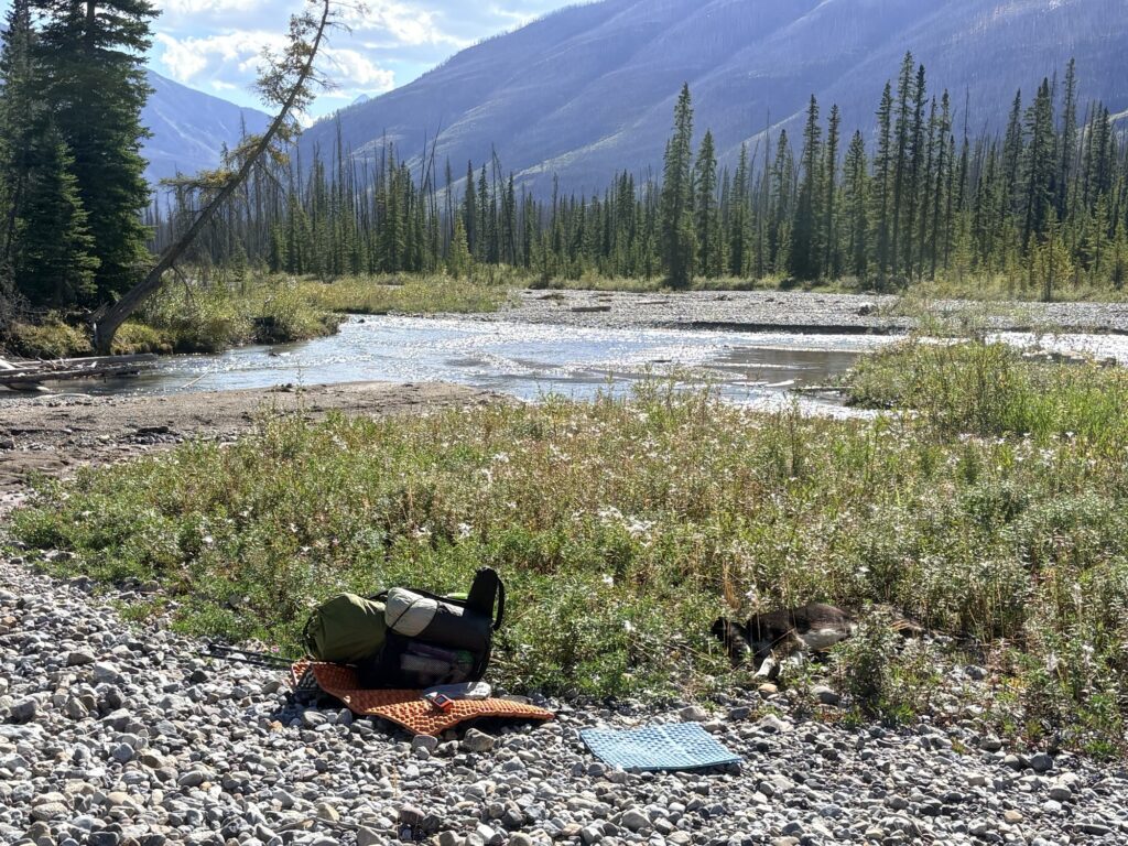
Luckily by now we had a wide river bed and while the current was still strong, it was completely doable to ford (of course I walked through all of these with shoes on). On the other side, we looked for the line on the map but nothing was there. We very slowly climbed up a steep incline to check further up to no avail; if you think climbing over log jams in flat terrain is bad, try climbing up a steep slope full of logs! I remember at some point peaking through the next jumble and seeing a flat trail about 5m from me. It took me 10min to get around all the trees only to find no trail (I think it was just a similar brown surface; or hallucinations?).
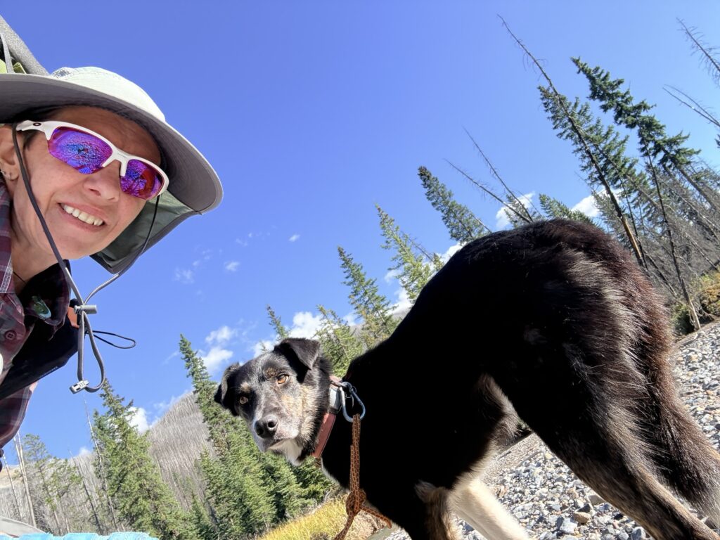
So another hour went by trying to find the trail, then looking for a way to get back to the river (climb, squish, sponge, jump). At least on the river I could see further, have some space, take time to decide. All the areas along the shore were swampy (see picture later). Oh and of course I was too focused on the terrain to take pictures, I hadn’t even taken my windbreaker off.
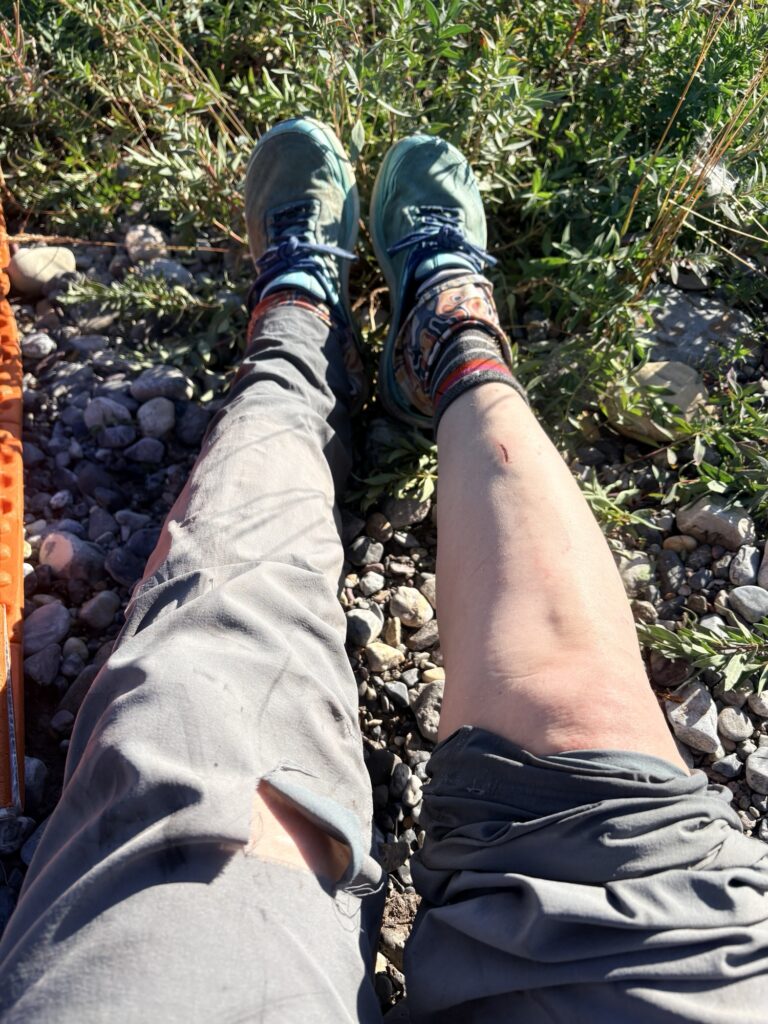
Eventually I got back down to the river and spotted two blue ribbons in a tree by the water. Maybe that means something! So I checked thoroughly on the far side of the river (all swamp, then logs, no trail), crossed again and checked the other side. By that point it became clear that no matter what the map (or signposts) said, there was no trail.
Continuing meant hitting darkness at some point (it was now 4pm, 8 hours into the bushwhacking and being just over half way down) with no safe campspot, plus we had no energy left so the risk of injury on any of the million blowdowns would be high.
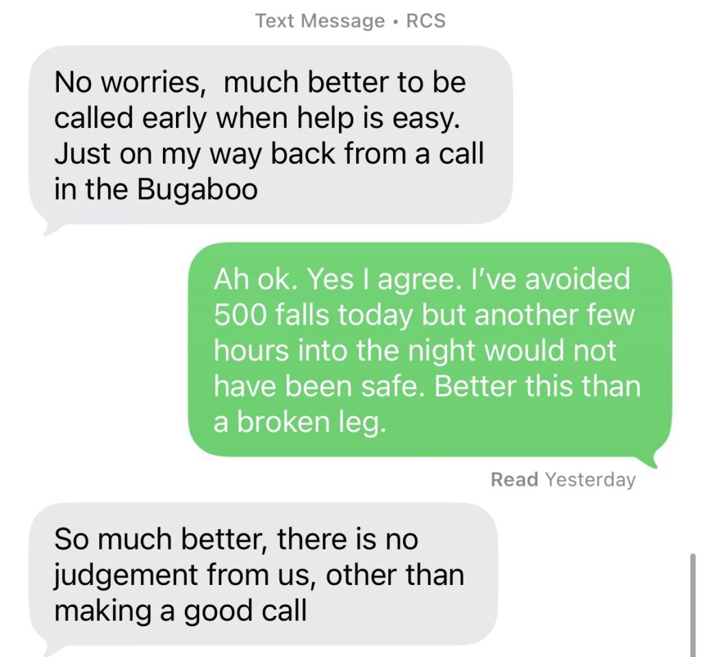
The decision to call for help was not made lightly, as Ron can confirm. My adventures and decisions should not be anybody else’s responsibility but I have also always promised to be responsible and safe. Given how the day had unfolded, and the prospects ahead, it was not prudent to continue. At 4pm I still had daylight to arrange for a rescue. Not only would a recovery with injury be much more difficult (and more dangerous for rescuers), closer to nighttime it would also be impossible for help to arrive. I know from my volunteering on callouts with Kimberley Search & Rescue that we much prefer a responsible early call that allows for an easier rescue than to wait and risk everybody’s safety later.
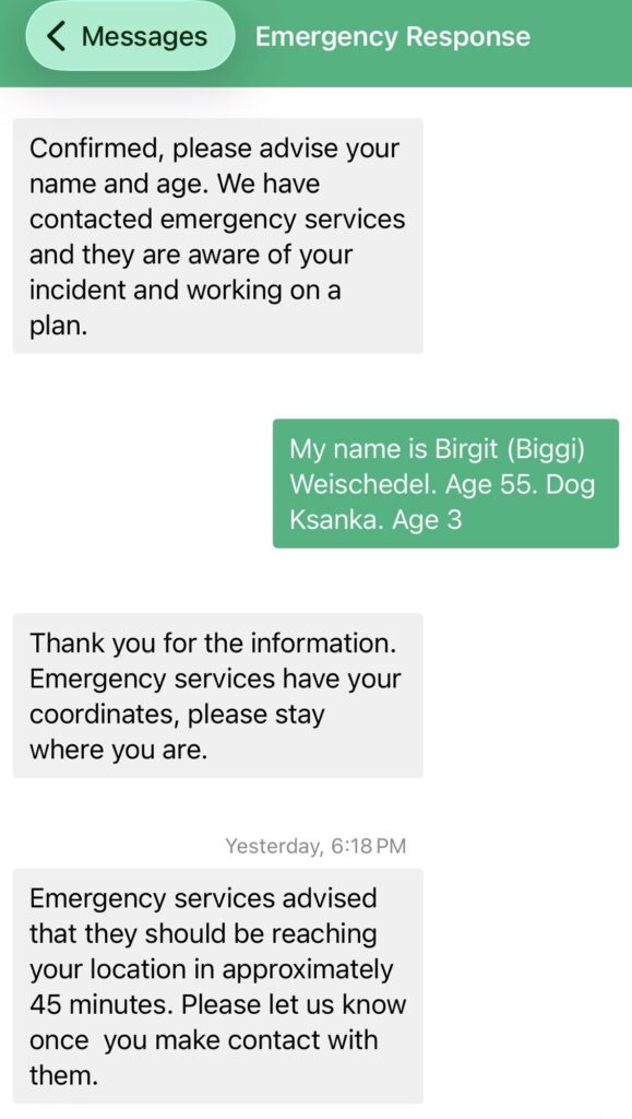
So I made the decision to call for help. The SOS button on the Garmin inReach connects you with the Garmin centre and you can communicate details back and forth. They asked what the nature of my emergency was, and also instantly called my listed contacts (Ron and Cat). Ron started to explain to them our situation, the fact I had a dog, that I had done what I could and that we were not injured but needed help.
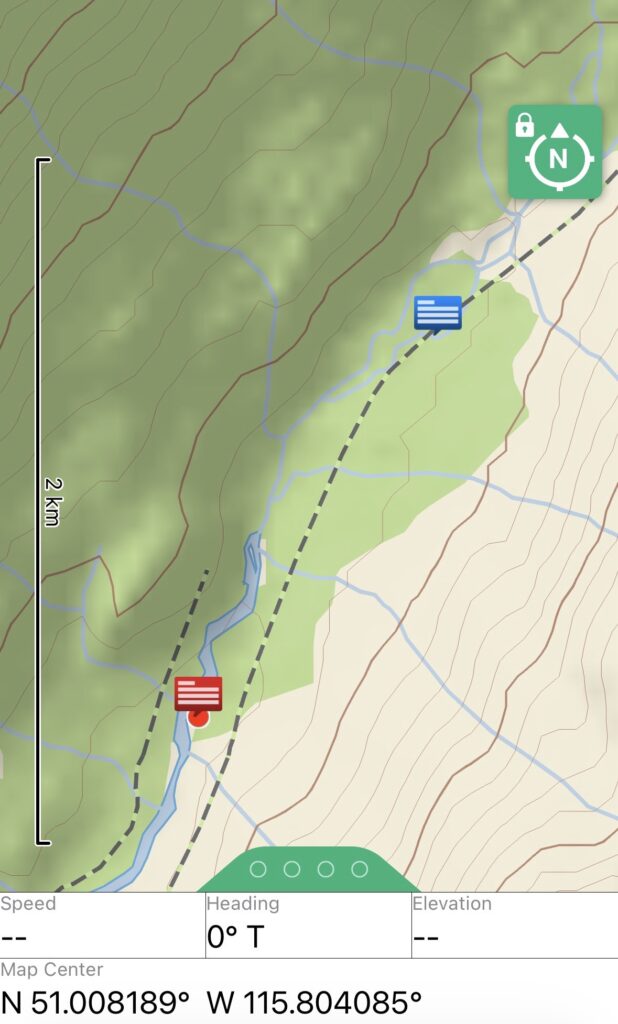
At around 5pm, I started talking with Columbia Valley Search & Rescue who were tasked with our rescue. They requested a helicopter to help get us out. So we exchanged information, details of a helicopter landing zone, info about my car location etc. They told me where they were coming from, the ETA, etc. A very smooth operation!
While I was sitting there, Ksanka actually started rolling and hitting her mouth, then stopping and starting again. I was worried she was choking but eventually saw that a piece of stick was stuck sideways on the top of her mouth. Silly dog! Ever since I had taken off her backpack (so many river crossings) she had been happily running and playing around. I just had no way of keeping her on leash anymore through this terrain and the water. She had some nice swims but very obviously also got tired of the high jumps and drops in the tree jumble.
Even now with additional online resources, I’m still baffled that there is no information anywhere on the signposts or online that explains that this trail doesn’t exit. Referring to the park website, I did find what I think is the “scout camp” mentioned, which is where I saw trail for about 300m. But I have no idea why it is there and there certainly isn’t any other trail.
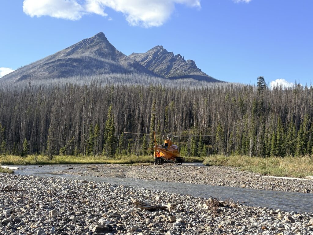
Then we heard the rotors, and soon after the heli landed. The SAR people prepared before coming over. One pointed me to a shallower water crossing than where I was standing and I thought to myself that after crossing the river a dozen times today in much deeper water (and everything already being wet), that was the least of my worries 🙂 We figured out the seats and the dog spot (backpack went into the cage outside). All went well, I know what to do in a helicopter and the dog settled down okay (backpack on since it has a built-in harness).
Everybody enjoyed the scenic flight back to the highway I would say. Ksanka was a natural in the helicopter, not complaining about the noise or strange environment. A few times when she looked out of the (ground level) window and saw everything from so high above she stirred a bit and was restless for a few seconds. Otherwise, a pro! Everybody was admiring the scenery and taking pictures.
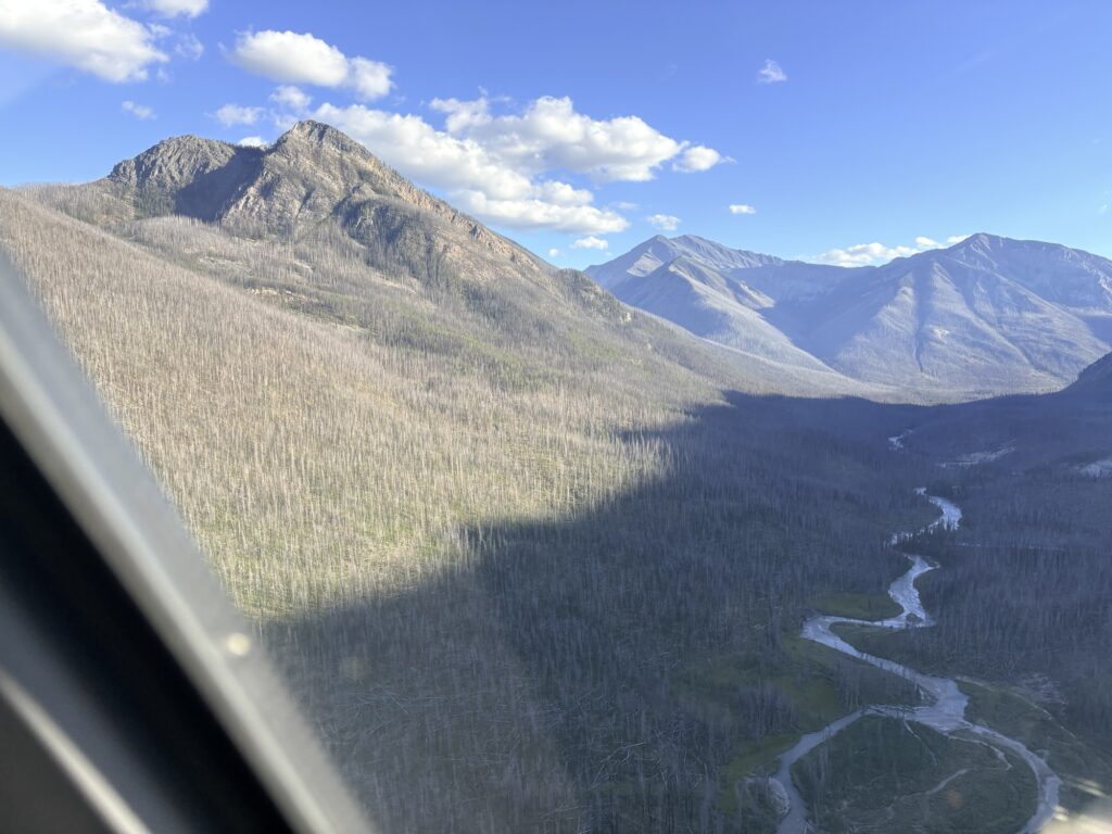
The pilot and SAR had determined that at the trailhead where my car was, a suitable landing zone was available. And so, after about 20min of flight, we got dropped off there. We completed a few formalities and after the heli took off, I continued debrief with the Parks Canada/SAR person who had waited on the ground and blocked off the area. All was pretty chill, everybody seemed to be happy about a swift, efficient, safe extraction. We were for sure!
That was about 7pm and we loaded up and started driving. Along the 2.5 hour drive we only stopped once to get out the wet cold shoes and get a soda at a gas station. In our areas I hate driving at night because of the wildlife and the last hour in dusk promptly produced 3 encounters with deer (one crossing at a safe distance, another two crossing closer in front of me but keeping going, and one big buck just standing in the middle of the road, requiring a slamming on the breaks and luckily avoiding him). I don’t like driving to start with but driving at night is to be avoided at all costs!
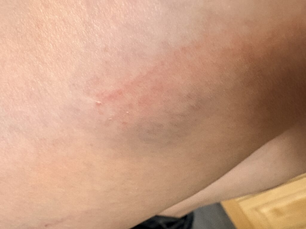
Lying in bed, I feel sore all over (will be even worse the next day). Elbows, shoulders, toes, legs and wherever those pesky bruises have appeared. I really only had one fall, which is pretty good considering how many hundreds of logs we navigated! They are all burned and brittle, or white bleached and hard, or spongy hummocks or swamp. Not ideal!
As I have mentioned to Ron, it will take me a while to feel good about this exit. I know it was the right decision for everybody involved and I didn’t put anybody in unnecessary danger; continuing on into the dark with no energy left would not have gotten us anywhere and would have greatly increased the risk for injury. Getting injured in a log jam requires a more complicated rescue. There was no place to camp anywhere, it was either logs stacked up, surrounded by dead danger trees, or swamp and bogs. Only the gravel bars in the river would have been flat but aren’t really a safe place to camp.
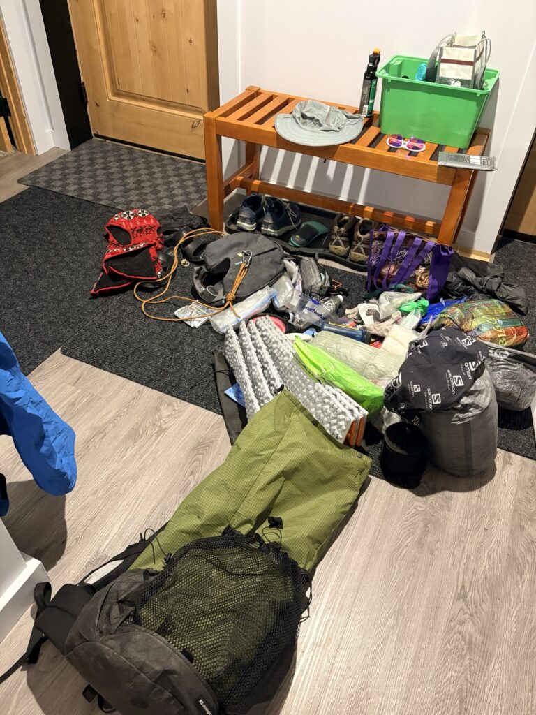
I had food and shelter, just no suitable spot. I had enough battery and power bank left for the Garmin and my phone. I try to fully wrap my head around this being the prudent response and decision that worked best for everybody (thanks Ron for the affirmations). Me pushing further and creating new and ongoing dangers would not be responsible. Garmin was very efficient in their handling of the situation, as was Columbia Valley SAR. The pilot was released from fire standby duty in Invermere and said he appreciated the trip 🙂
At some point (next year) I will do the missing last part (around Sunshine and Howard Douglas; we already hiked the Rockwall trail), with lower daily mileage and more fun 🙂 For now we are happy to be home and resting the tired muscles! An adventure, for sure.
Good call!
Thanks 😍
Wow, what an adventure!
Can’t believe the lack of a trail
I understand your feelings on how it ended but it was the right call
Yes I agree. Thanks for the support!
Good call. Glad you are home safe. Hope you enjoy some dry and warm time.
We are! A dry bed without setup is so nice 🙂
Biggi, ein Glück hast du den Hubschrauber gerufen! Alles richtig gemacht. Ich bin froh, dass ihr in Sicherheit und nicht verletzt seid. Ein bisschen zu viel Abenteuer für meine Nerven, und ich habe nur mitgelesen! 🥰
Danke! Ja war richtig so. Später oder dunkler oder ohne Kraft wäre es schlechter gewesen! Man lernt halt nie aus! 🙂
Oh my goodness. What an adventure! It was a good call, phone SAR. So glad to hear you are safe. I was thinking of you as I was driving by the Simpson River area which would have been the alternate pickup for you, just yesterday and wondered how you were making out. Holy cow! Biggi – glad you and Ksanka are safe and sound!!!!
Yes I think we all know that it was the right call to make instead of endangering us and others by being stubborn 🙂 We are all good, just sore with a few bruises and some gear to fix. Thanks!!!