July 24
I thought: I’m already in Montana, and have some time left, I might as well explore another area close to Whitefish! Some research later, I had decided to explore the Jewel Basin, a hiking area east of the Swan Lake area.
And it is actually a dedicated hiking area … no motorized travel, no horses, no mountain bikes. Even though the forecast was for dry and sunny days, I didn’t have to take a chance on horse manure here!
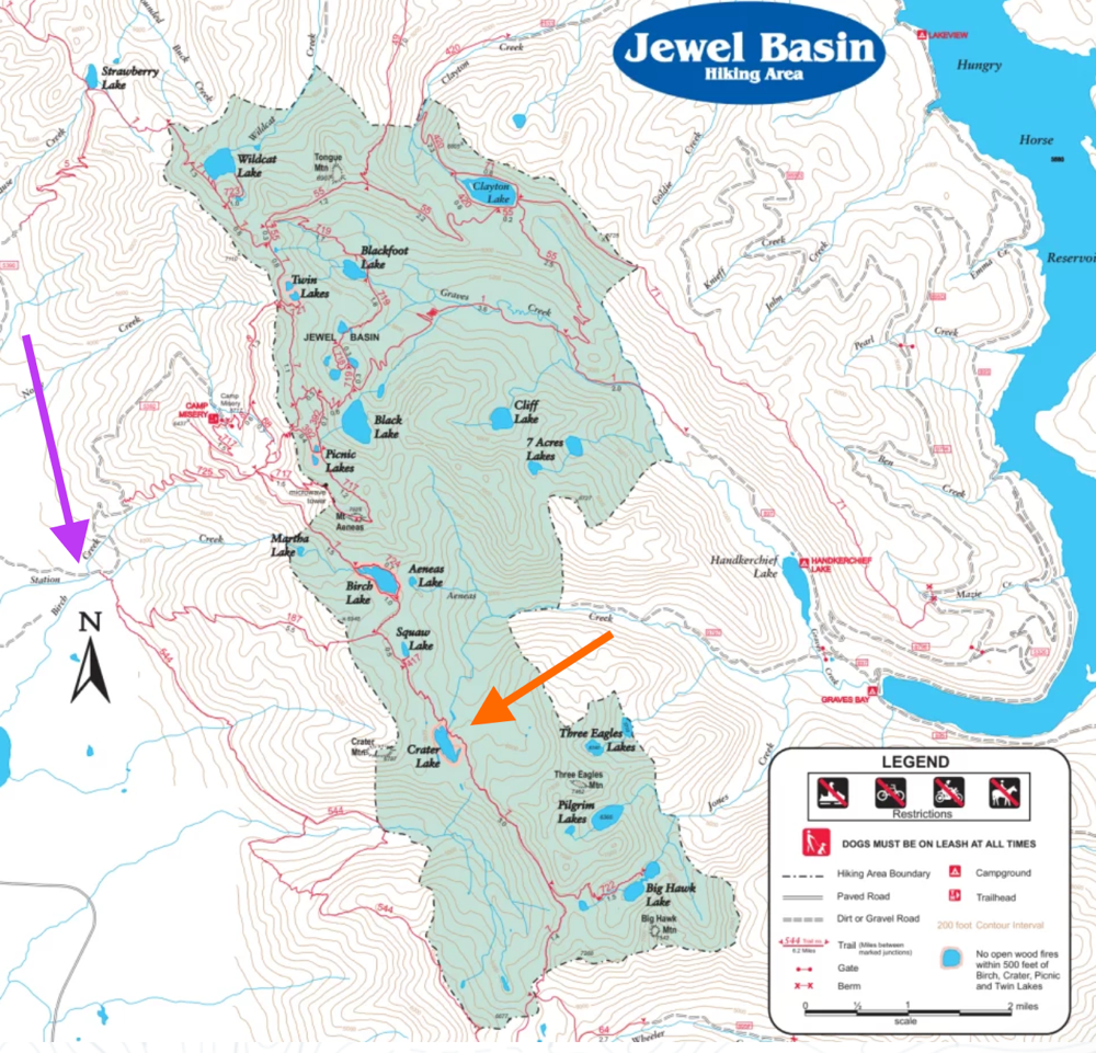
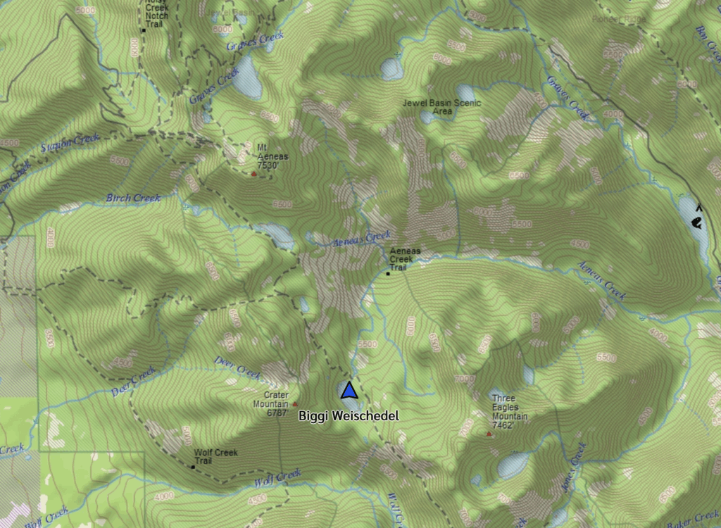
On Thursday, July 24, I started the 90min drive to the Echo – Broken Leg trailhead. On the same road, you can drive higher and avoid a lot of the elevation gain I was going to hike. But I’m not a fan of driving rough steep roads, so I picked trail #187 Crater Notch to get me to the crest, onto the more popular Alpine Trail and then to Crater Lake for the night.
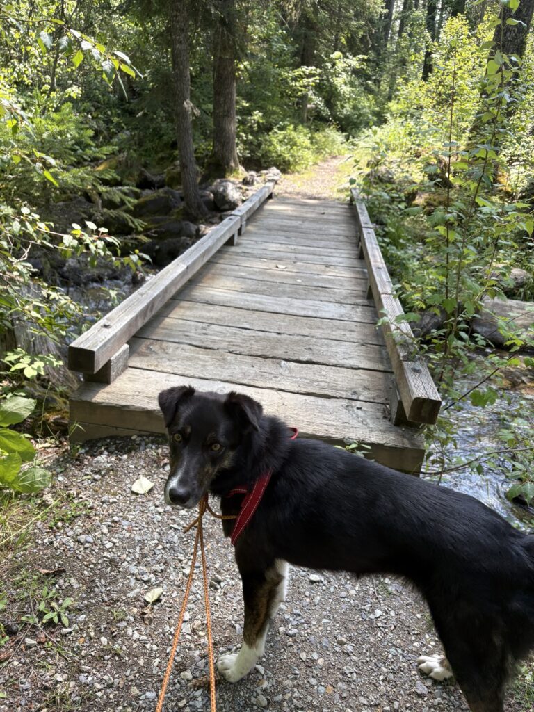
As soon as I parked, I hurriedly got ready to leave because a young man was shooting his rifle across the street, returning to his car a few times for more ammunition. Not something I ever want to be close to, so the dog and I quickly headed off up the trail. The first (and only) creek crossing had a bridge! What a novel idea …
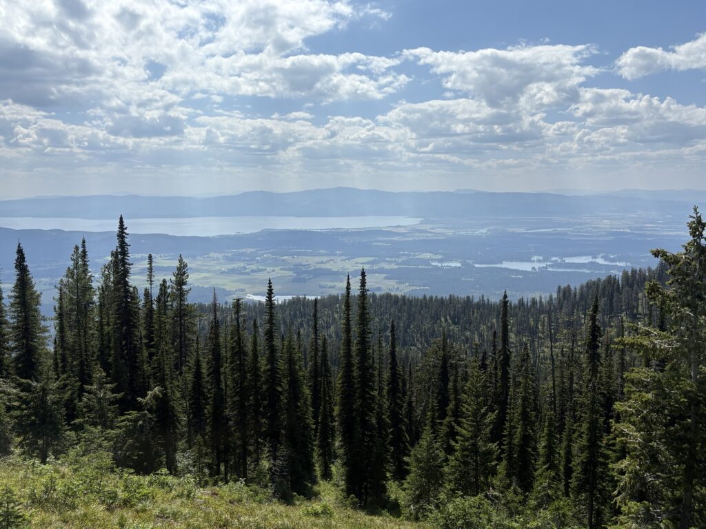
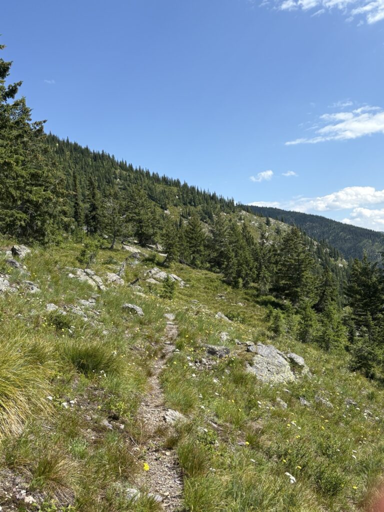
After a kilometre, my trail turned up the hill, leaving the Echo – Broken Leg trail (#544). The climb had started! Mostly somewhat brushy and in places overgrown, the trail climbs 1000m to the ridge at Crater Notch. I had to stop to catch my breath a few times but only sat down once to have a snack during that climb. The views of the Swan and Flathead Lake valley got better and better!
Only towards the notch did the bushes and trees thin out and more alpine landscape greeted us. But I was making noise and calling out to the bears all along …
Once we crested, we had a steep downhill to the Alpine Trail on the other side, then turned south towards Crater Lake.
At the junction, the Alpine Trail seemed in much better shape and easier to walk but that soon petered out and became brushy and overgrown again, with water running over the trail and sometimes big rocks to navigate. But no mud! Nor manure!
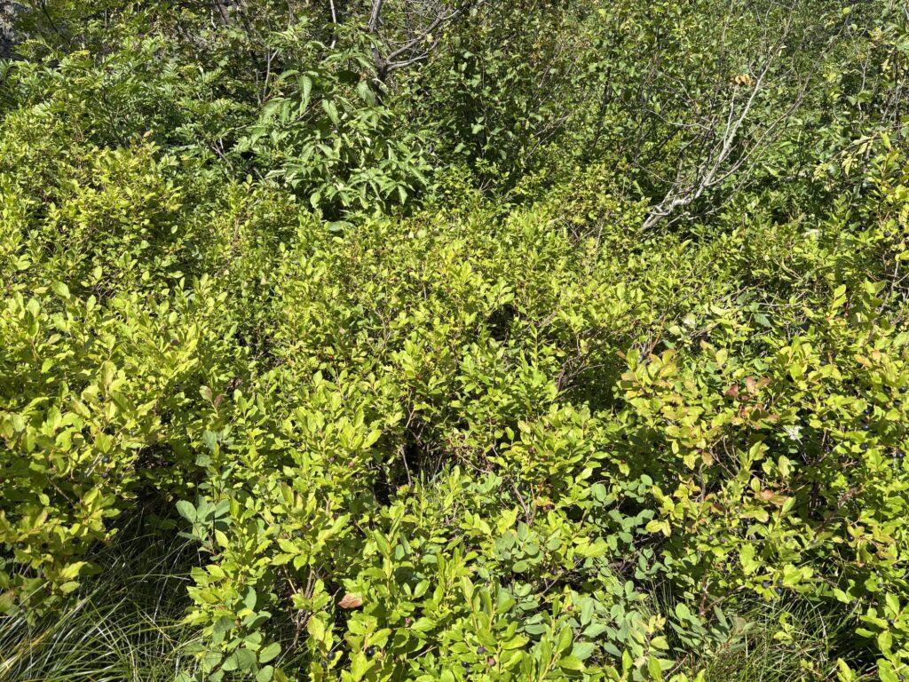
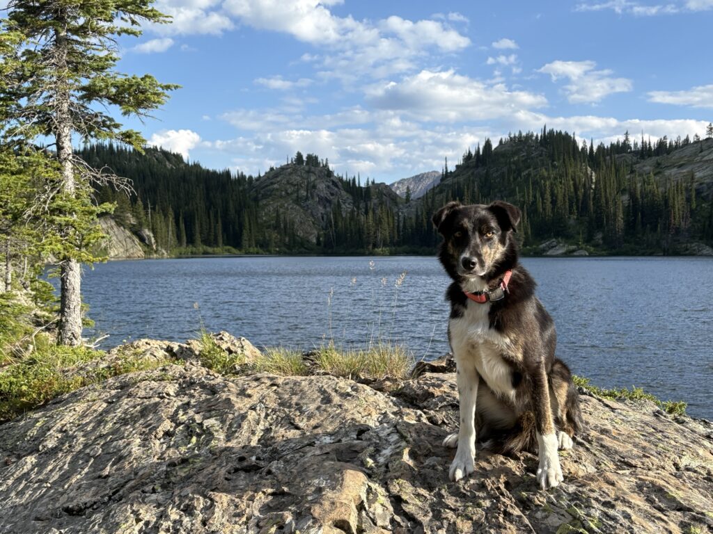
I had passed a million huckleberries already on this uphill when I finally gave in and ate a few. The dog who had until then paid no attention to the berries, looked at me for a second, saw me eating my first handful of berries, and from the next second on was converted into a berry forager. Left and right she snapped the berries like candy (and she doesn’t eat the leaves, she knows exactly how to eat the berries only). And there is no unlearning this now!
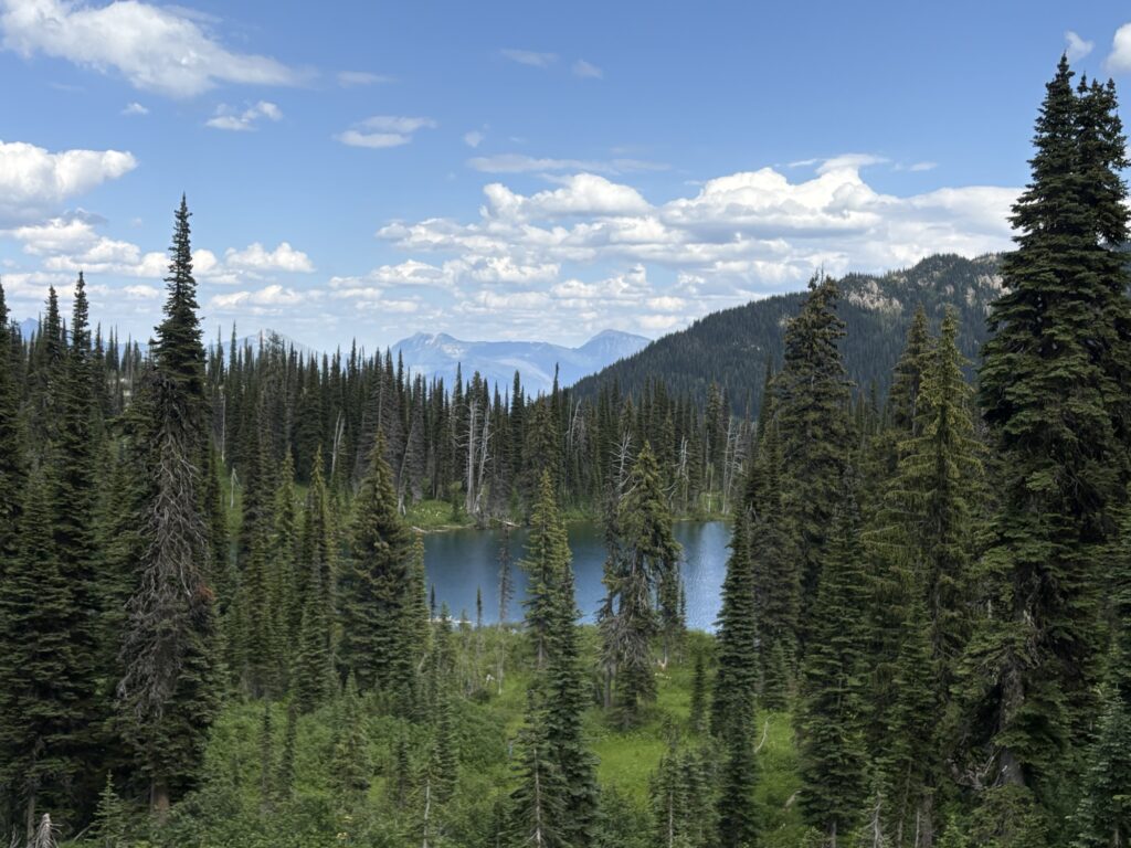
Continuing on the Alpine Trail, we passed In-Thlam-Key Lake and kept going.
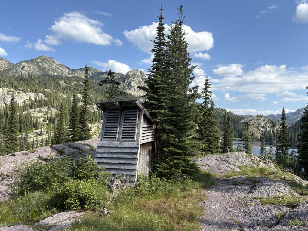
At some point the trail went to a cliff and the continuation wasn’t clear so I had to consult the (geo referenced) map on my phone. But it was wide open and with the help of cairns we were on our way again. About 15min from the lake, a solitary outhouse stood at a highpoint. Strange!
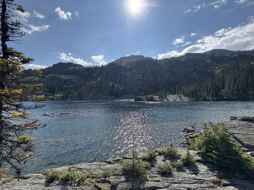
Making our way down the slope, we finally arrived. The trail around the lake isn’t always obvious so I started looking for campsites. I spotted the “peninsula” in the lake and was lucky to get there about 15 min before I saw two women search the shore for a campsite as well (the only people I would see all day, and after that I never saw those two again in the evening or morning). So I claimed this spot as my peninsula!
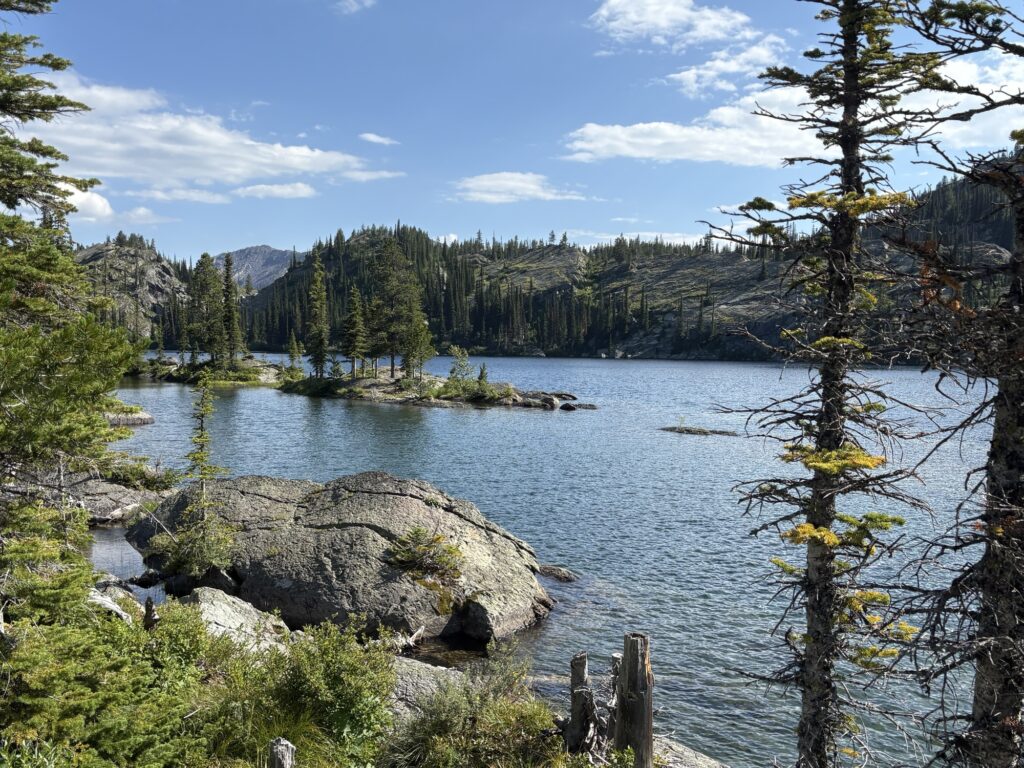
What a gorgeous campsite! Just perfect, with a breeze going and no chance of any wildlife coming from 3 of 4 directions (the connection to land is narrow and requires one jump as a human).
It was warm, the bugs were kept away and after the tent was set up, a leisurely evening started.
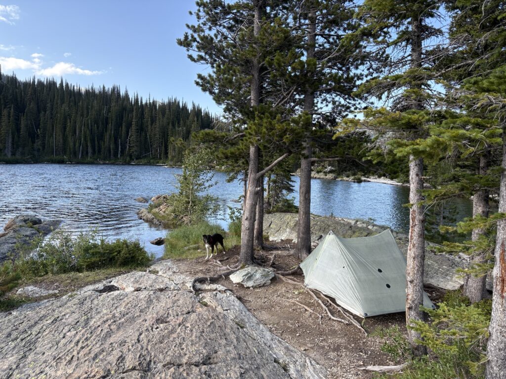
With my own beach and direct access to water, it was very convenient.
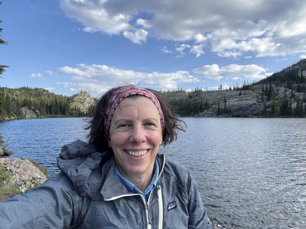
The light slowly faded over the lake (the tent was facing west) and after admiring the scenery for a while longer from my big rock, I retired to my tent. A warm, at times breezy night that meant no condensation, no visitors and no sounds at all!
The lake is at 2077m elevation, and we had hiked 3.5 hrs with 992m elevation gain.
Diese Tour wird dir immer im Herzen sein!!
Genau!!!